|
|
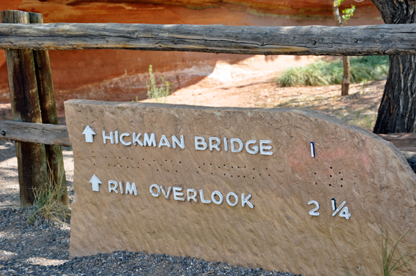
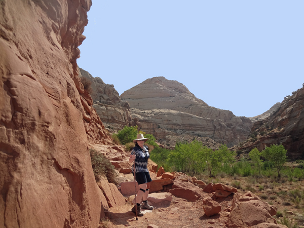
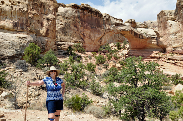
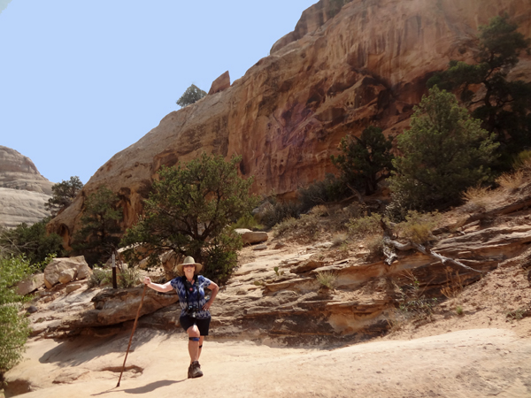
Below: Lee Duquette ready to discover this 1-mile out-and-back trail
near Torrey, Utah. Generally considered a moderately challenging route,
it takes an average of 56 minutes to complete. The best times to visit
this trail are March through November. Dogs are NOT allowed on this
trail. |
|
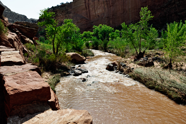
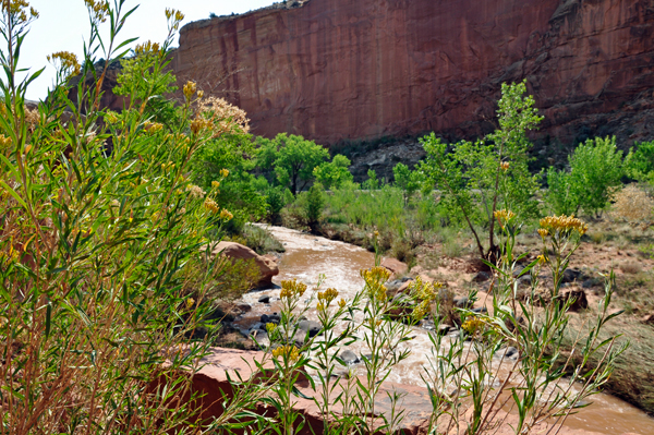
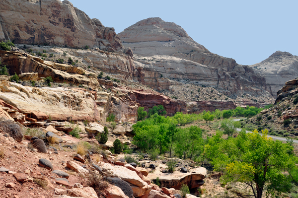
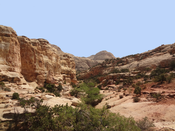
Below: At the beginning of the trail is the Fremont River which is
central to both the topography and human history preserved in the park.
The erosive action of the river and its tributaries continues today,
especially during floods. For almost 2,000 years, the river has sustained
agricultural communities on the arable land near its confluence with
Sulphur Creek. |
|
|
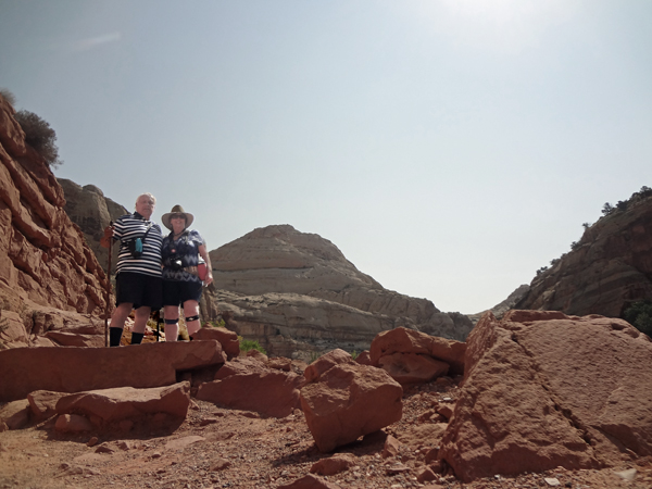
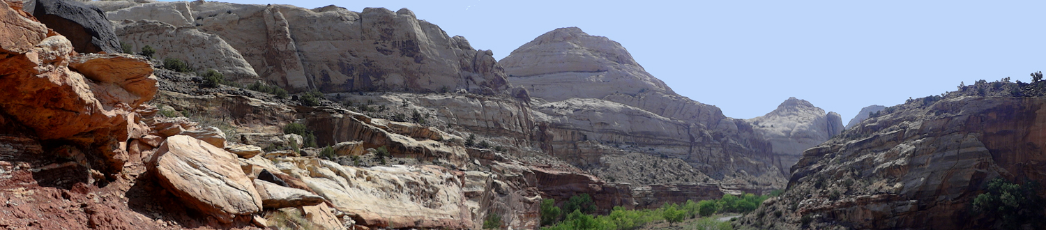
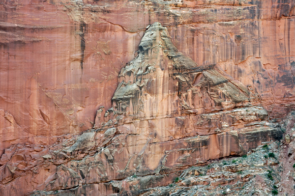
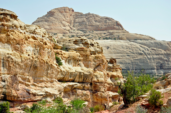
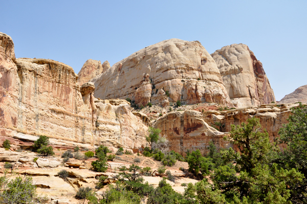
Below: Behind Lee and Karen Duquette is Capitol Dome, which is said
to resemble the Capitol Building in Washington DC. The other part of
Capitol Reef's name derives from a regionally common use of the nautical
term, reef, to identify steep ridges that are barriers to transportation. |
|
|
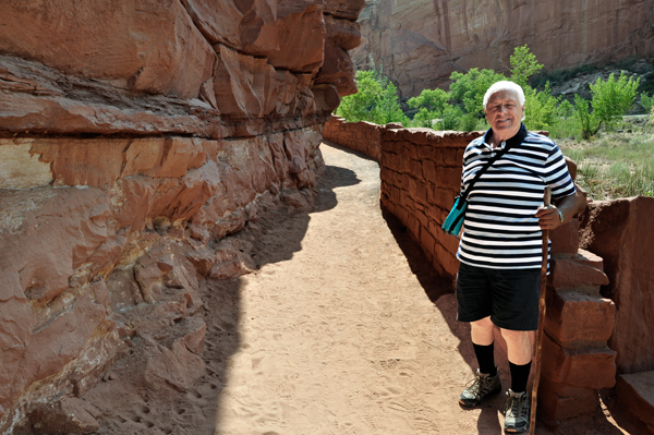
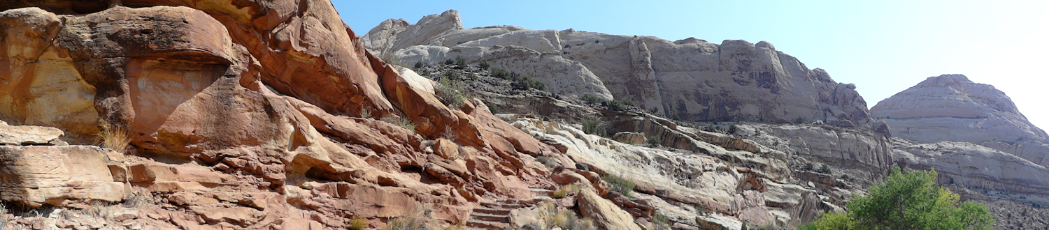
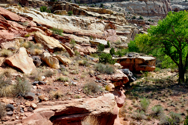
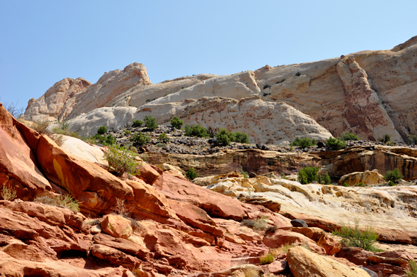
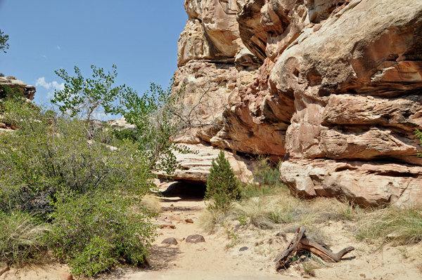
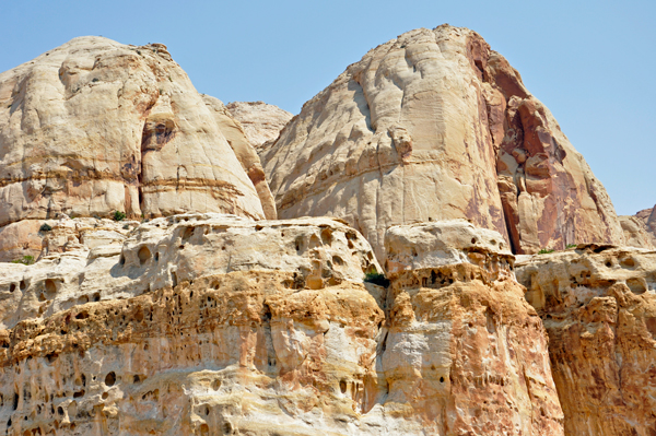
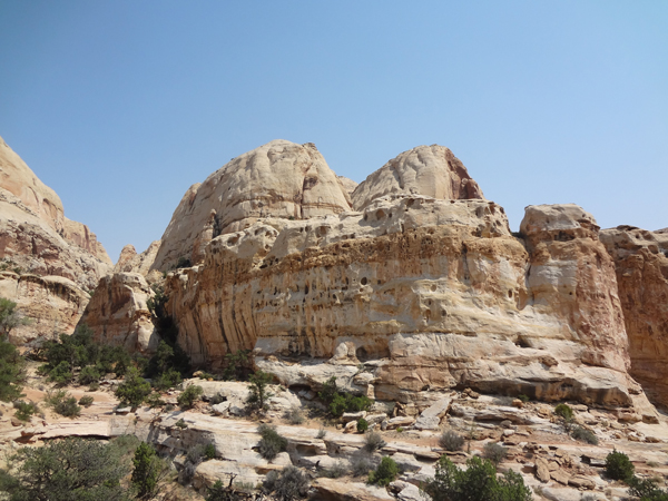
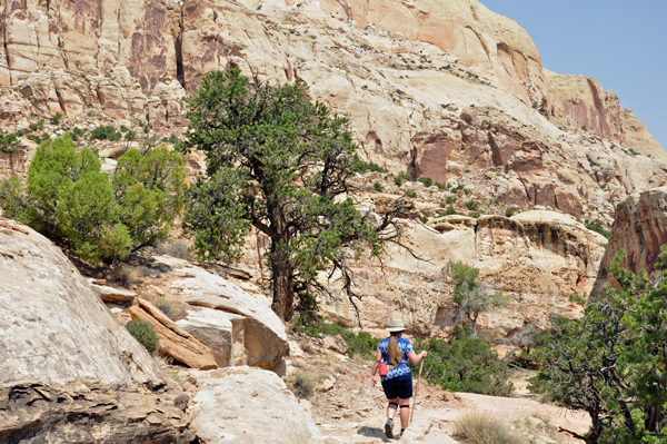
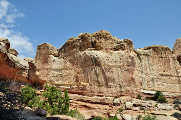
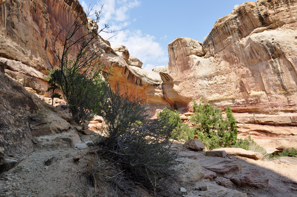
Below: The trail continues up and around
the red cliffs shown below. |
|
Below: Some of the trail is rocky, and
most of it is quite steep. |
|
Below: The trail was not
a very straight trail, and was often near a drop-off. Be Careful here! |
|
|
|
|
|
|
|
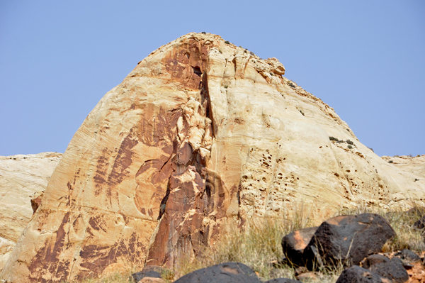
Below: The natural carving
in this giant boulder is said to resemble an angel. |
|
|
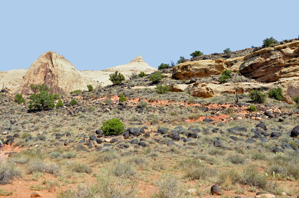
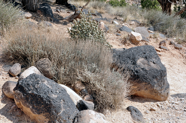
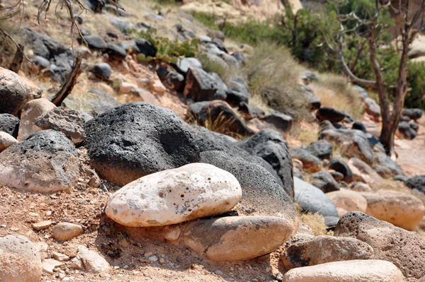
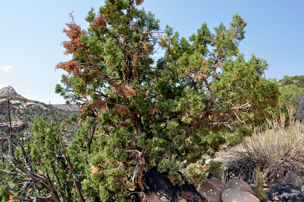
Below: These black boulders consist of the same andesite lava that
caps the flat-topped mountains west of the park. They were transported
here (and rounded in the process) by large debris flows from the flanks
of the peaks. The debris flows were associated with the melting of high
elevation glaciers in very recent geologic time. |
|
|
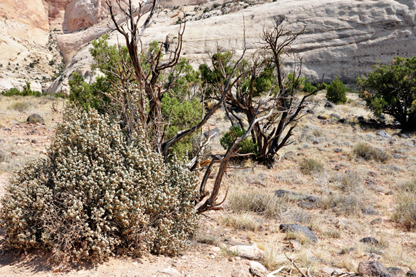
Below: These plants conserve moisture in unique ways and provide for
for animals today. In the past, they provided nourishment and medicine
for man. Ephedra or Mormon tea is abundant here on the west side of
the trail. |
|
|
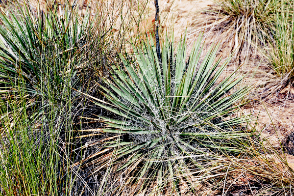
Below: The Fremont people knew how to make use of desert plants. The
Yucca provided material for mats, baskets, rope, nets, food and shampoo.
The sharp tips made good needles. |
|
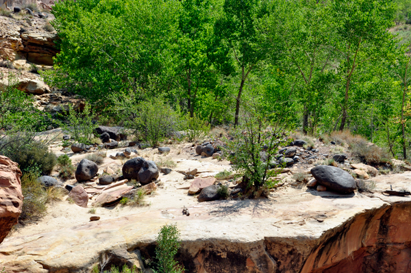
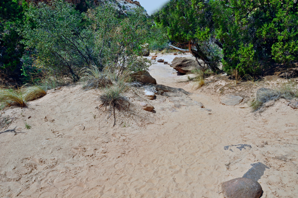
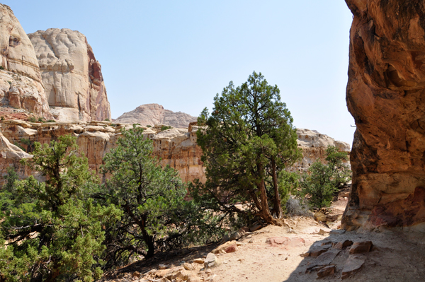
Below: The path led Lee and Karen Duquette through a wash, so-called
because water washed through here during storms. Between rains, the
sand acts as an insulator to limit evaporation and enough sub-surface
moisture is retained to support large trees and shrubs. |
|
 |
Below is the remains of a pithouse foundation. The prehistoric Fremont
people inhabited the Capitol Reef area making their homes in pithouses
between 300 and 1300 C.E. |
|
|
Below: The remains of a
pithouse foundation can be identified by the ring of black boulders. |
|
|
|
|
|
|
|
|
|
|
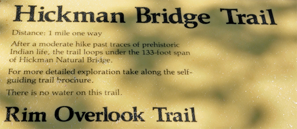
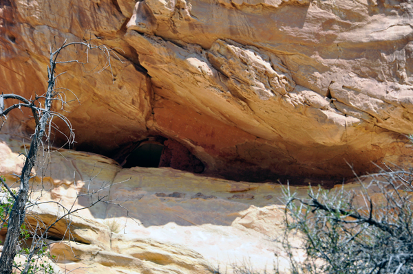
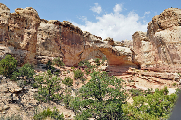
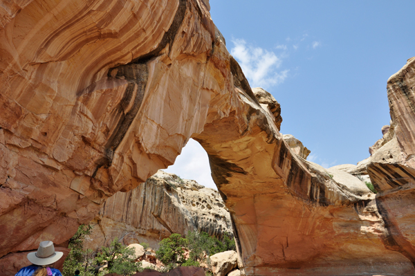
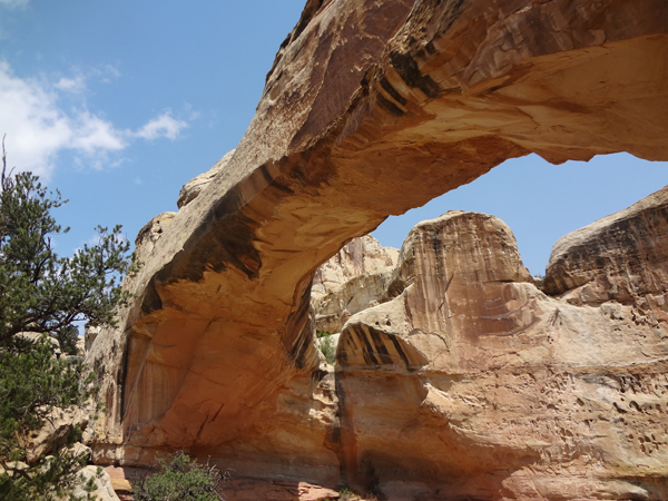
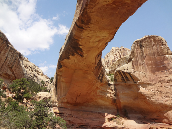
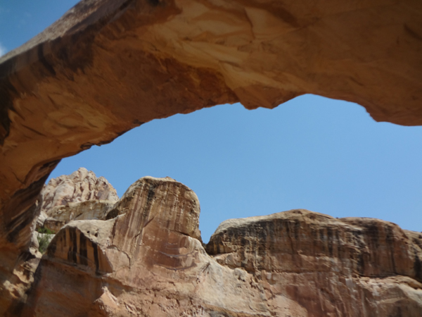
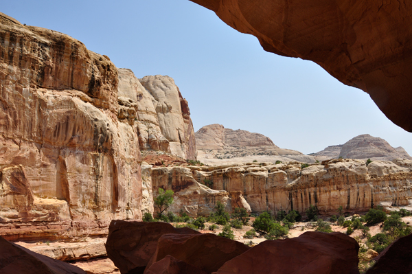
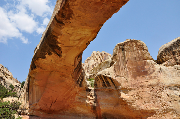
Below: The Hickman Natural Bridge is 133 feet long and 125 feet high.
The feature was named after Joseph Hickman, who was a local school administrator
and Utah legislator. Hickman was an early advocate for this area which
he called Wayne Wonderland. |
|
|
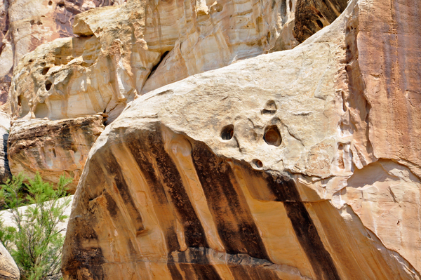
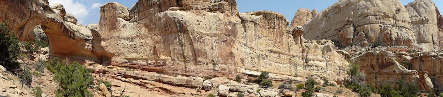
Below: The Kayenta Formation consists of hard beds alternating with
much softer layers. The bridge is firm sandstone, while the trail is
friable red shale which crumbles easily. During wetter times, water
coursed down behind the fin into which the bridge was cut and eroded
the soft shale until it broke through. Subsequent erosion enlarged the
span. The trail passes under the bridge and turns left. |
|
|
|
|
|
|
|
|
|
|
|
|
|
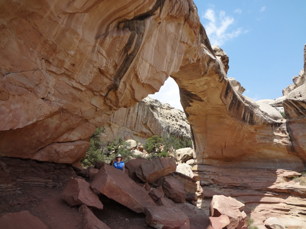
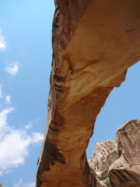
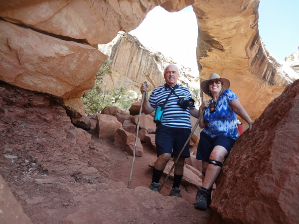
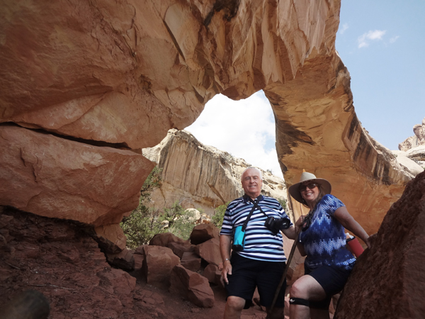
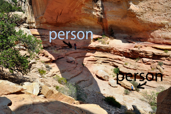
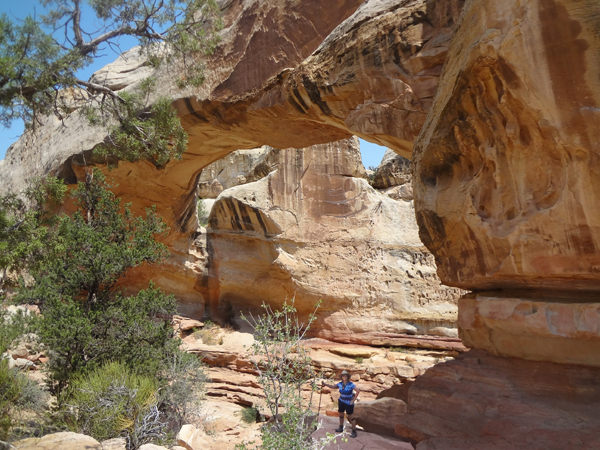
Below: People under the arch
gives a better perspective of the size of the arch. |
|
|
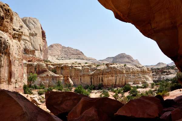
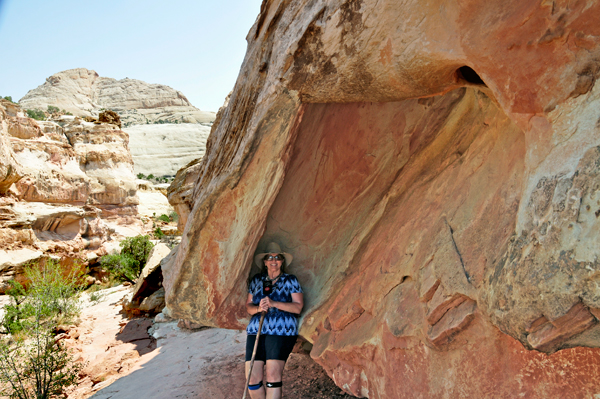
Below: Karen Duquette took a break in a rare shady spot
on the trail back. Most of the trail was exposed to the sun and it was
a very hot, but enjoyable day. |
|