|
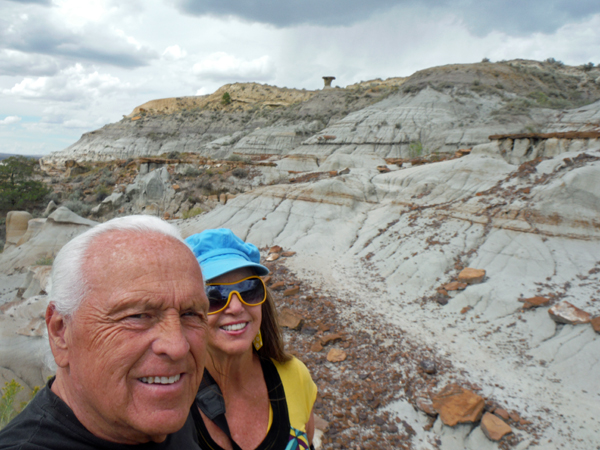
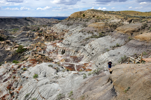
At the bottom of the staircase into the valley, Lee and Karen Duquette took
a selfie with Cap Rock far up on the hill. |
|
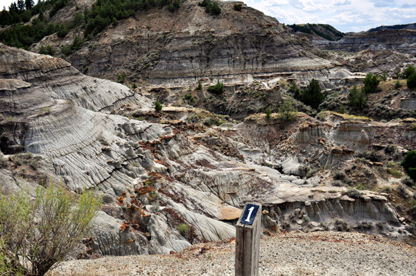
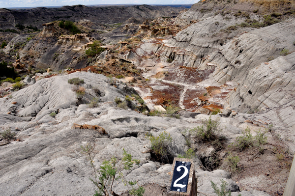
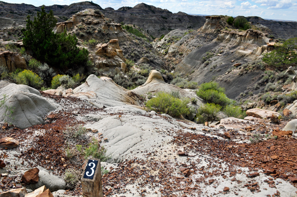
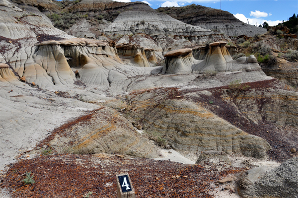
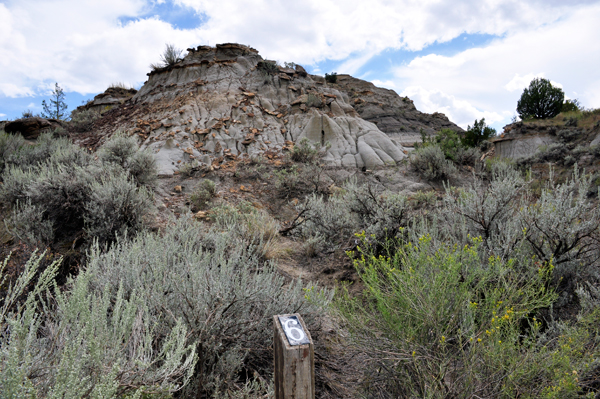
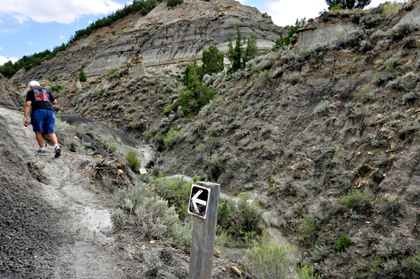
There were numbered poles everywhere.
Karen Duquette photographed them and hoped they would find out what
the numbers represent later. But as it turned out, the park no longer
prints or supplies the trail brochure explaining the numbers. Well,
at least the numbers helped Lee and Karen Duquette follow the trail
properly so they did not get lost. They were the only two people on
the trail at this time. |
|
|
|
|
|
|
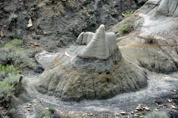
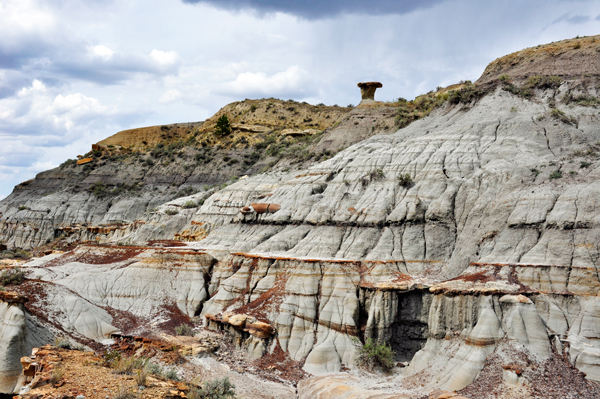
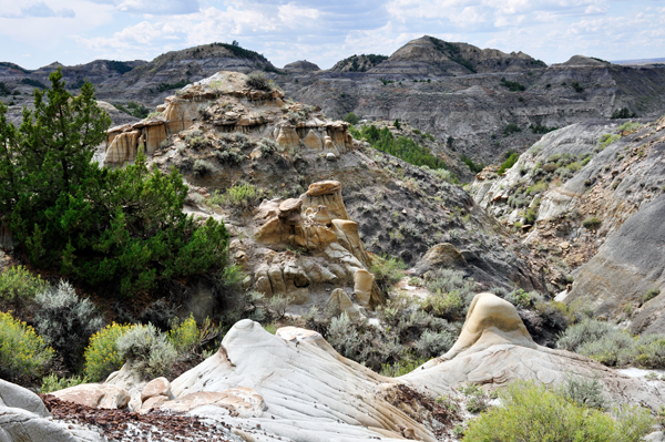
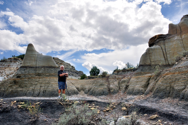
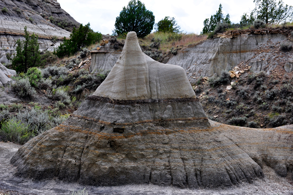
Below: Another view of Cap Rock |
 |
 |
 |
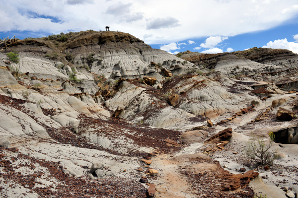
The sign at the
top of the hill is the sign at the Cap Rock Trail Overlook shown on
the previous page. That is how far around the valley Lee and Karen Duquette
have walked so far. But they are nowhere near the end of the trail at
this time. |
 |
 |
 |
 |
 |
 |
 |
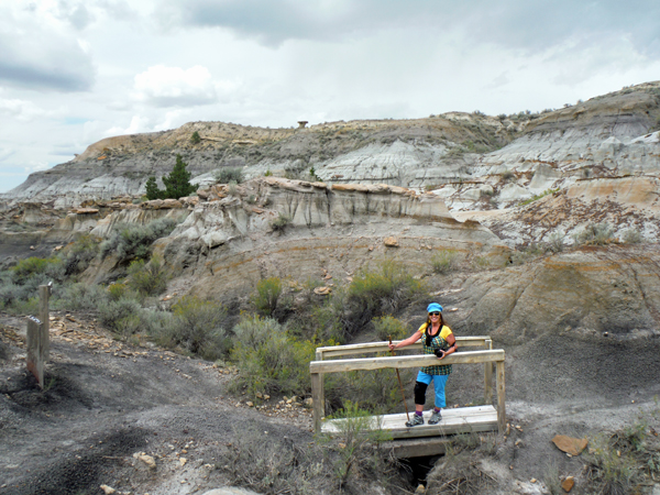
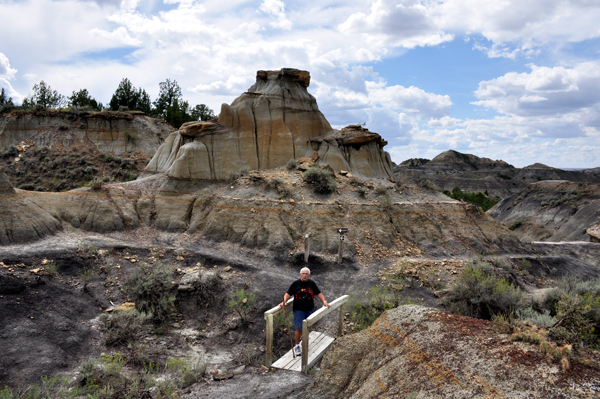
Below: From opposite
sides of a small bridge, the two RV Gypsies photographed each other
on the small bridge. Cap Rock is far in the background behind Karen
Duquette. |
 |
 |
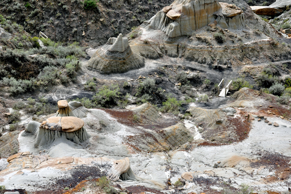
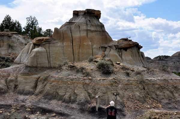
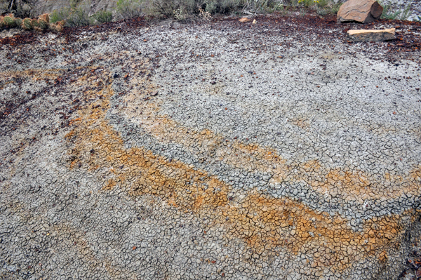
Below: A rock formation
and a close up of the colors in the formation. |
 |
 |
 |
 |
 |
 |
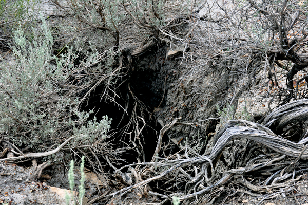
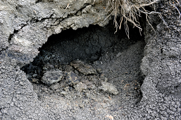
Below: Big holes along the trail |
 |
 |
 |
 |
 |
 |
 |
 |