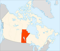
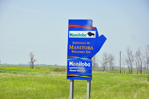
Manitoba
is a
Canadian prairie province with an area of 250,900 square miles,
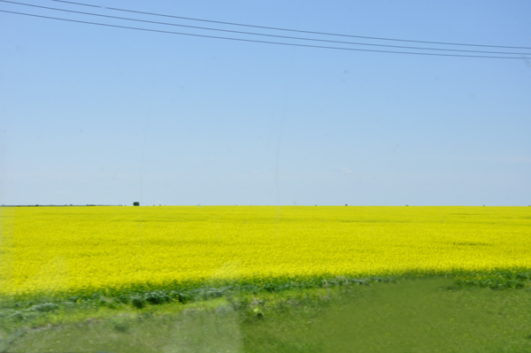
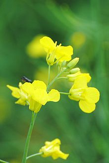
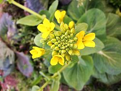
has a largely continental climate and flat topography. Agriculture,
mostly concentrated in the fertile southern and western parts of the
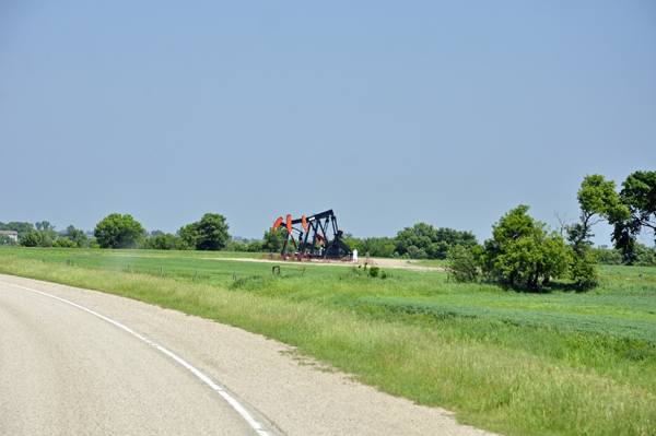
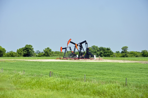
province, is vital to the province's economy; other major industries
are transportation, manufacturing, mining, forestry, energy, and tourism.
Manitoba's capital and largest city, Winnipeg, is Canada's eighth-largest Census Metropolitan Area, and home to 60 percent of the population of the province. Winnipeg is the seat of government, home to the Legislative Assembly of Manitoba and the highest court in the jurisdiction, the Manitoba Court of Appeal. Four of the province's five universities, all four of its professional sports teams, and most of its cultural activities are located in Winnipeg. Winnipeg is the largest city between Calgary and Toronto.
Fur traders first arrived during the late 17th century. Manitoba became a province of Canada in 1870 after the Red River Rebellion. A general strike took place in Winnipeg in 1919, and the province was hit hard by the Great Depression.
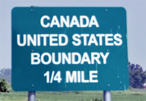
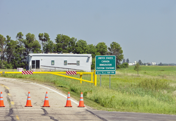
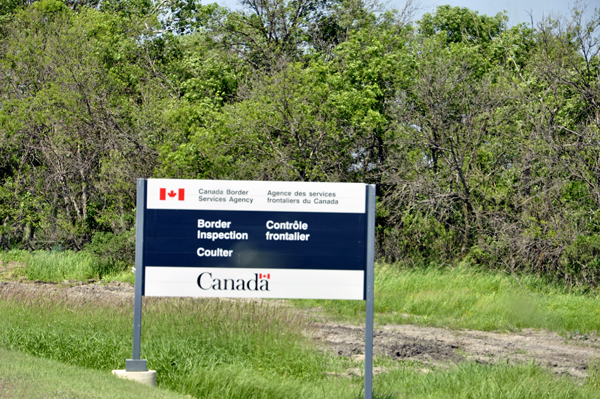
Geography: Manitoba is bordered by the provinces of Ontario to the east and Saskatchewan to the west, the territories of Nunavut and Northwest Territories to the north, and the US states of North Dakota and Minnesota to the south. It adjoins Hudson Bay to the northeast, and is the only prairie province with a coastline. The Churchill port is the only arctic deep-water port in Canada and the shortest shipping route between North America and Asia. Lake Winnipeg is the tenth largest freshwater lake in the world, and the largest within the borders of southern Canada. Hudson Bay is the 2nd largest bay in the world. |