 The
LIFE of Lee and Karen Duquette The
LIFE of Lee and Karen Duquette before becoming the Two RV Gypsies  |
|
 May 25, 2004 |
|
 |
|
 |
|
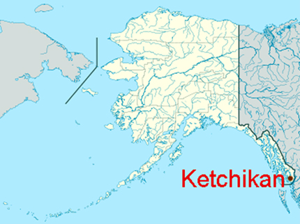
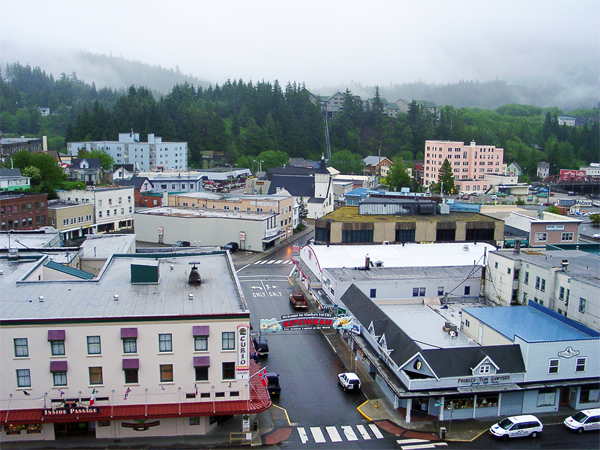
Ketchikan is the state's southeastern most major settlement. The downtown area is a National Historic District. It is the 5th-most populous city in the state, and 10th-most populous community. Ketchikan is named after Ketchikan Creek which flows through the town, emptying into the Tongass Narrows, a short distance southeast. The name Ketchikan comes from the Tlingit name for the creek, Kitschk-hin but the meaning is not known. Ketchikan served as a summer fish camp for Tlingit natives before the town was established in 1885. There are 32 miles of roads in Ketchikan. |
|
 |
 |
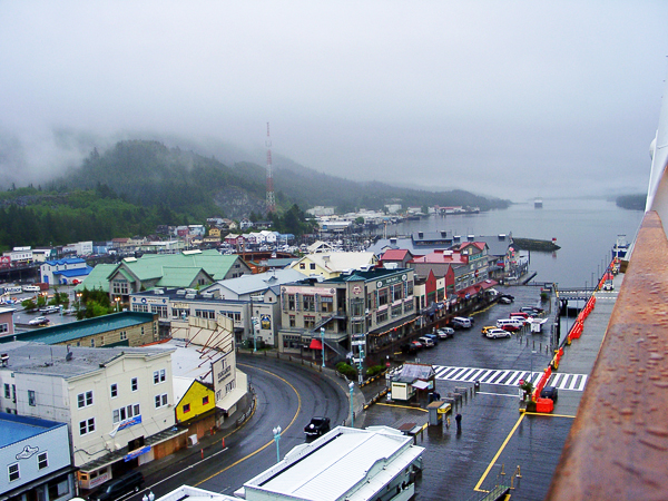
There are 8 hotels/motels (380 rooms), 20 bed and breakfasts, one youth hostel, 23 dining establishments and shopping in downtown's Plaza Mall with all conveniences, groceries and supplies. Of course cruise ship passengers do not need most of these accommodations and are only here for a few hours. |
|
 |
 |
 |
|
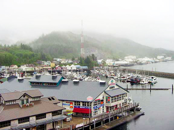
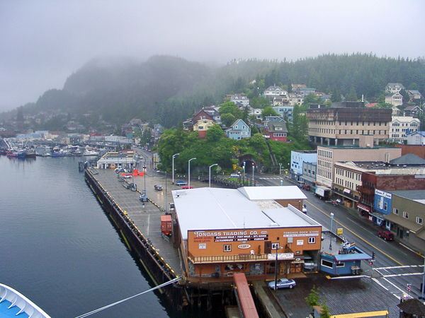
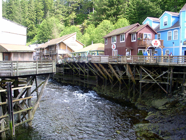
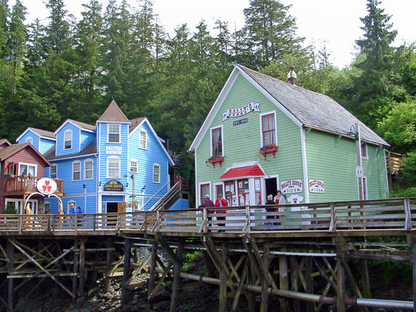
Below: Ketchikan waterfront - Creek Street, bordering Ketchikan Creek which winds through the heart of downtown. |
|
 |
 |
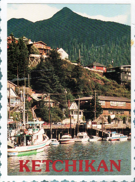
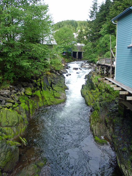
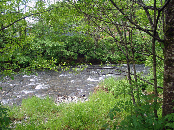
Below: Views behind the buildings |
|
 |
 |
 |
 |
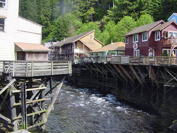
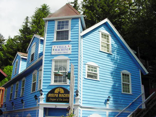
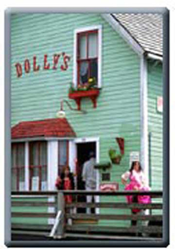
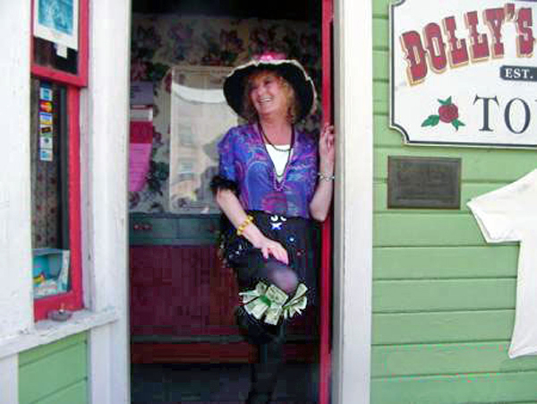
Below: Creek Street was a significant red-light district until the passage of the Anti-crib Laws in the early 1950s. The former brothels are now restaurants and shops. Dolly's House Museum (shown below) was once the home of Madam Dolly Arthur and is open for tours. |
|
 |
|
 |
.JPG) |
 |
|