|
|
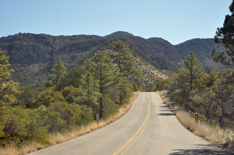
The Chiricahua
Mountains are one of the many "sky island" ranges in southern
Arizona. They rise like islands from the surrounding grassland "sea".
Plants and animals from four ecosystems; Rocky Mountains, Sierra Madre
Mountains, Sonoran and Chiricahuan Deserts, meet here. |
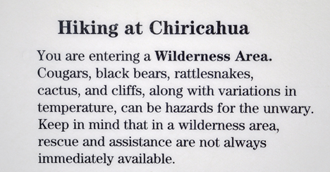
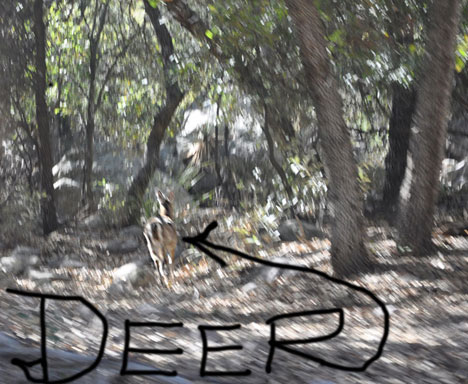
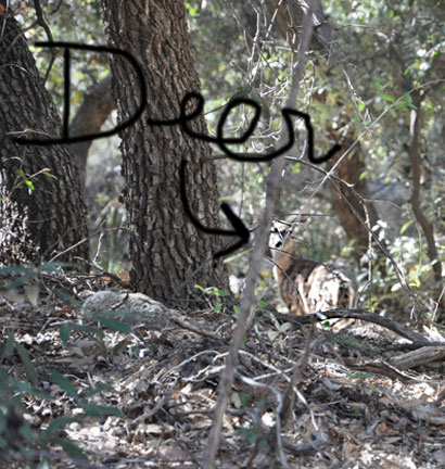
| Signs stated that everyone should watch for black bear, mountain lions, Arizona white-tail deer, coatimundis, snakes and lizards, and a variety of birds. But the two RV Gypsies did not see any wildlife when they were here, except deer. |
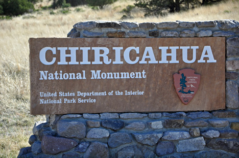
Approaching Chiricahua National Park - April 18, 2009 |
|
|
| Below:
wild deer |
|
|
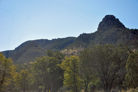
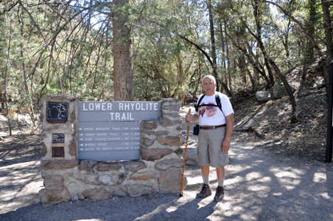
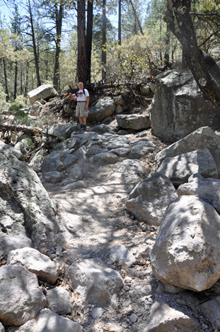
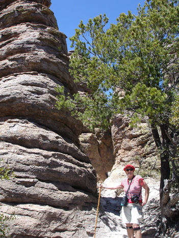
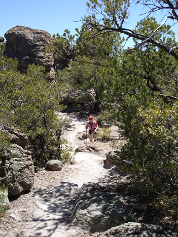
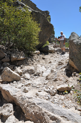
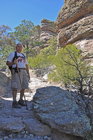
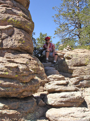
Below; The two RV Gypsies took
a 7.3 mile hike up the mountain, which took almost all
day because it was a very strenuous hike as shown in the photos below.
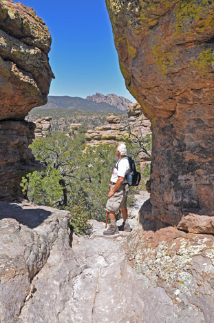
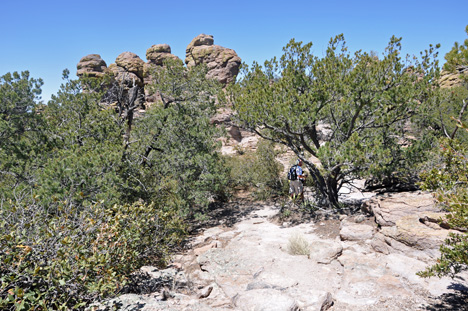
They also ventured off on several 1.1 mile loops such
as the Heart of Rocks Loop that has many of the most unusual
rock formations in the monument. Lots of rock steps make this a challenging
loop, but the two RV Gypsies thought it was worth the effort.
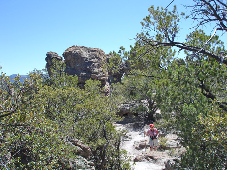
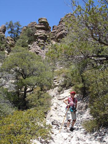
The Lower Rhyolite Canyon Trail
began as an easy level walk in the lower canyon forest, but soon
climbed up Rhyolite Canyon. Then the two RV Gypsies came to Sarah Deming Canyon which went up 880 feet to reach
the top of the ridge. These photos show the difficulty of the trail,
followed by the unbelievable scenery from the top of the mountain. So scroll
down and enjoy. |
|
|
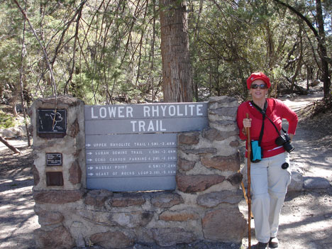
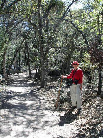
Below:
Karen Duquette on the easy part of The Lower Rhyolite Canyon Trail |
|
|
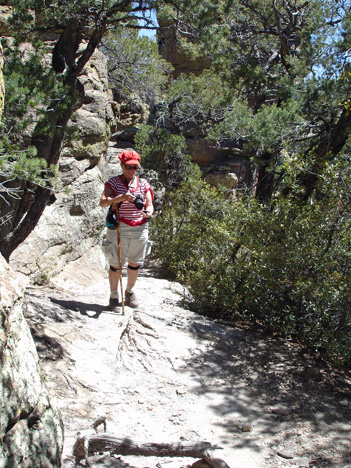
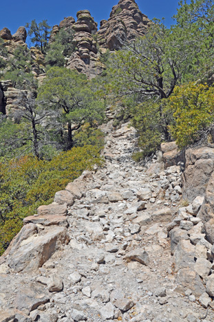
Below: Then
the trail got strenuous |
|
|
| |
|
|
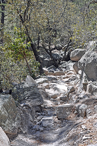
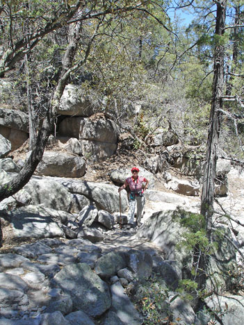
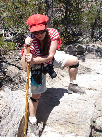
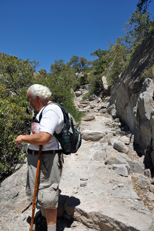
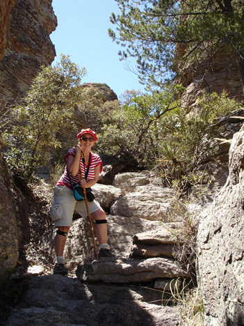
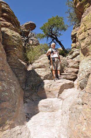
Below: Karen
Duquette hesitated before stepping up a rock that was almost knee high.
|
|
|
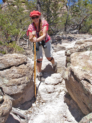
| Below: Karen
Duquette had to step up onto another big rock, then around several smaller
rocks. The walking stick came in handy. |
|
|
|
|
|
|
|
|
|
|
|
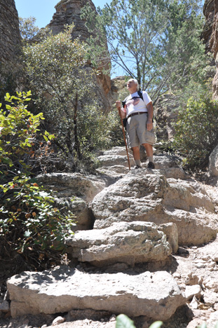
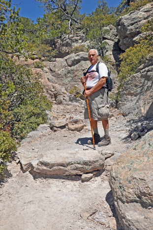
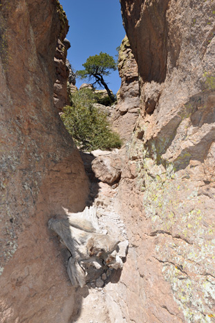
Below: A big
rock blocked a very narrow path, but Lee Duquette conquered the challenge. |
|
|
Lee Duquette beside the
tree
in the middle of the trail. |
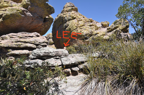
See Lee Duquette's head
as the trail that took him
between large rocks. |
|
|
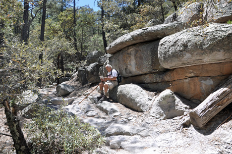
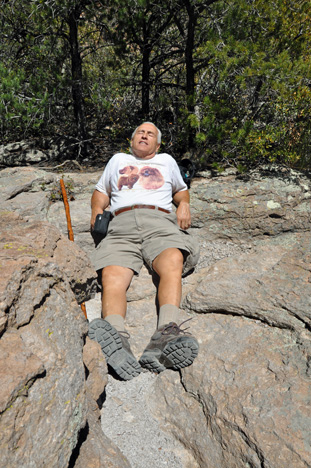
Below:
Lee and Karen Duquette - the two RV Gypsies - VERY TIRED
and they still had to finish the trail and then go back down to their
car - (They really were tired, but not as tired as they made themselves
appear in the photos). |
|
|