 Kodachrome
Basin was amazingly beautiful, and there are a lot of photos, so Kodachrome
has been divided into two pages which will allow the photos to load
faster, although the photos may still take several minutes - they will
be worth the wait. This is PAGE 1 OF 2 Kodachrome
Basin was amazingly beautiful, and there are a lot of photos, so Kodachrome
has been divided into two pages which will allow the photos to load
faster, although the photos may still take several minutes - they will
be worth the wait. This is PAGE 1 OF 2
|
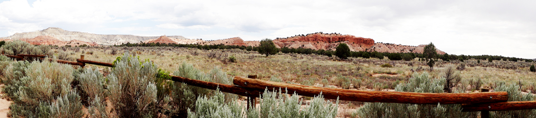
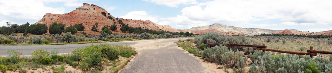
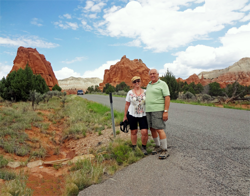
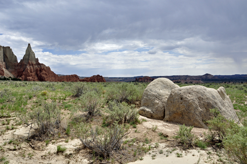
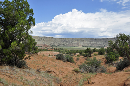
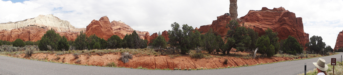
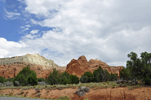
The roadside scenery just before the two
RV Gypsies entered Kodachrome Basin State Park in Utah. |
|
|
|
|
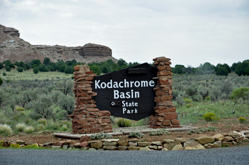
Kodachrome
Basin is a state park in Utah. It is situated 5,800 feet above
sea level, 12 miles south of Utah Route 12, and 20 miles southeast of
Bryce Canyon National Park, and is completely surrounded by Grand Staircase-Escalante
National Monument (which can be seen from the Utah menu link below).
The Park encompasses 2,240 acres. |
|
Geology:
Geologists believe Kodachrome Basin State Park was once similar to Yellowstone
National Park with hot springs and geysers, which eventually filled
up with sediment and solidified. Through time, the Entrada sandstone
surrounding the solidified geysers eroded, leaving large sand pipes.
Sixty-seven sand pipes ranging from two to 52 meters have been identified
in the park. |
| |
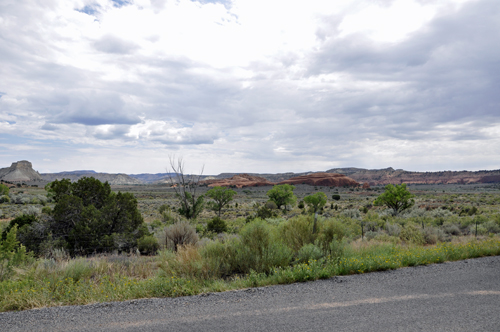
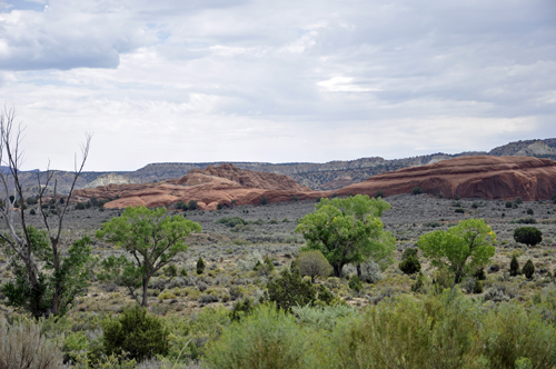
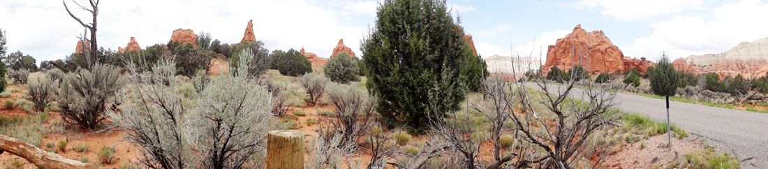
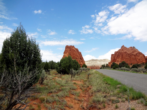
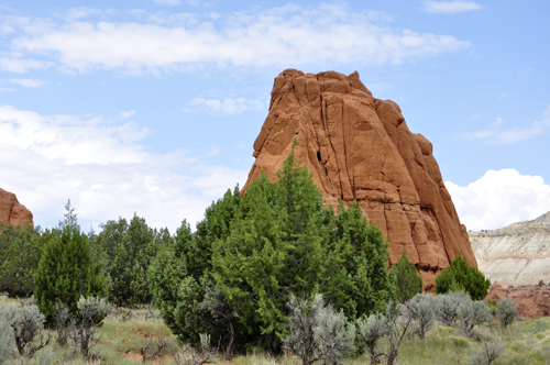
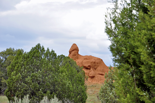
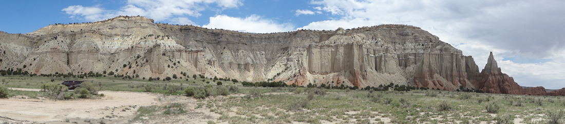
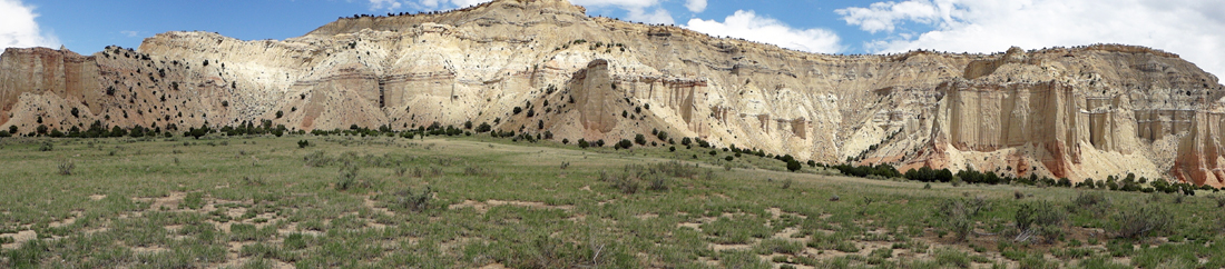
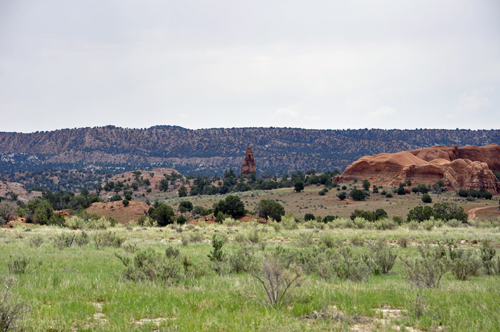
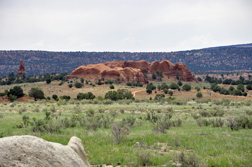
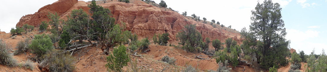
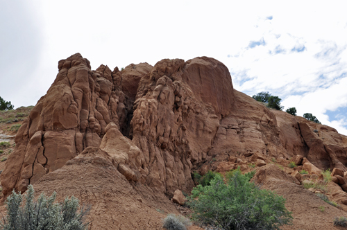
The two RV Gypsies drove the
Grand Parade area of the Kodachrome Basin and stopped at pull-offs
to see the various Entrada sandstone formations as shown below. |
|
|
|
|
|
|
|
|
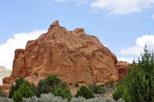
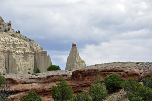
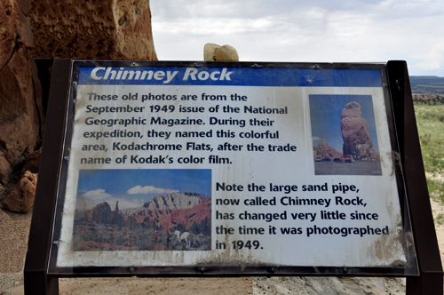
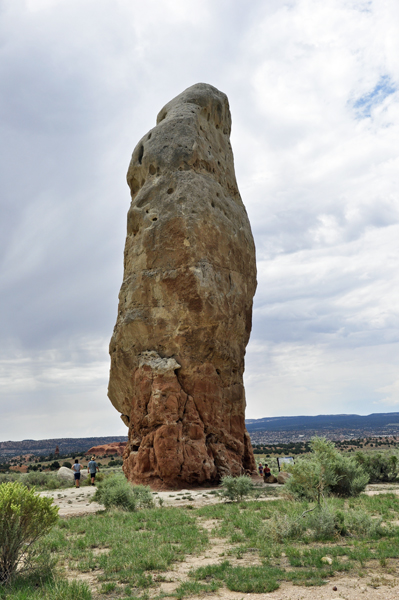
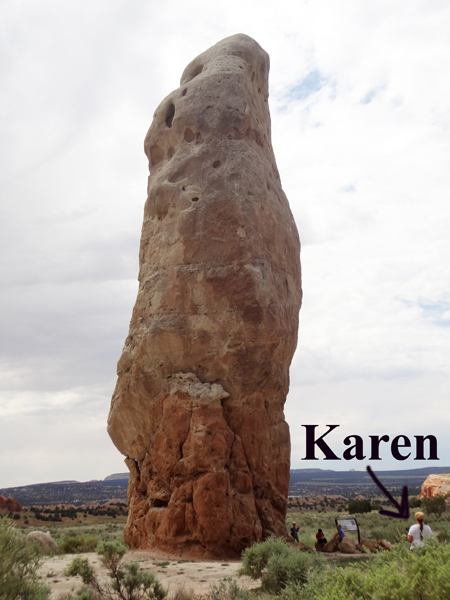
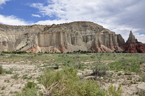
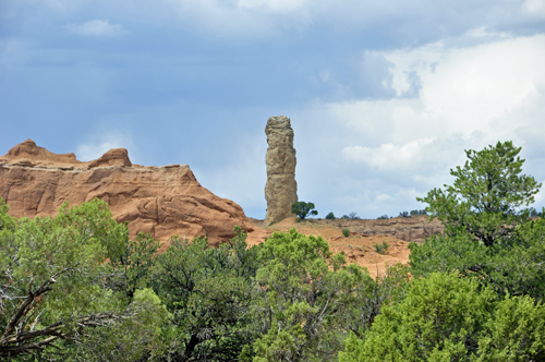
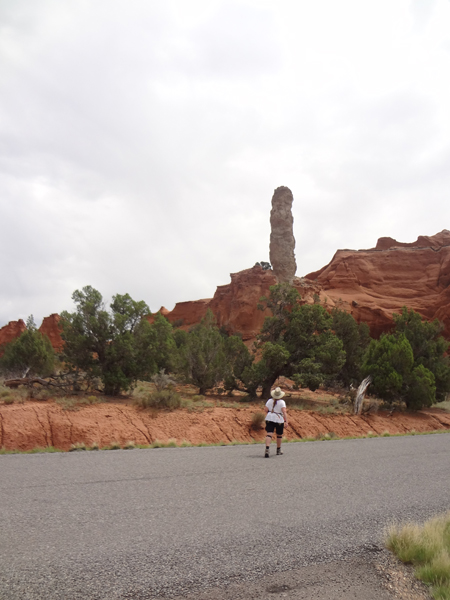
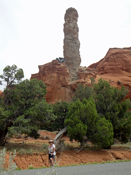
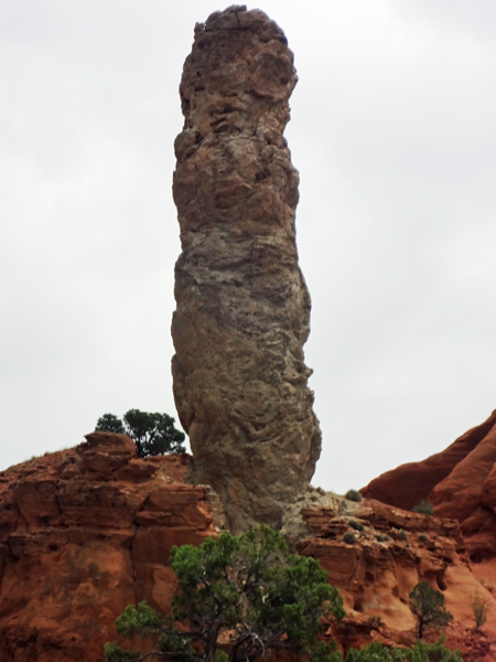
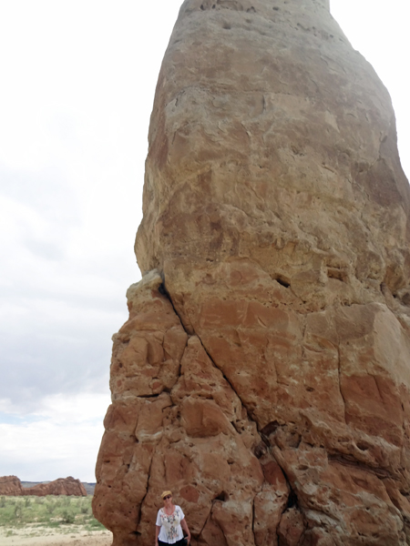
Below: Without a doubt, the
sand pipes are the main attraction at Kodachrome Basin State
Park, with the largest spire, Chimney Rock, towering at 170
feet tall. Chimney Rock is the feature that brought
national attention to this area back in the 1940's (according to an
info plaque located next to the structure) Kodachrome Basin earned its
name when National Geographic photographers came here in the late 1940's
to test out a new type of color film. |
|
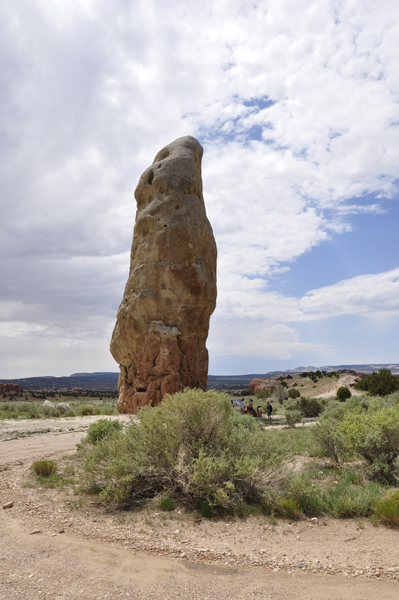
Below: In the photo below,
notice the people at the bottom of Chimney Rock and how small they appear. |
|
|
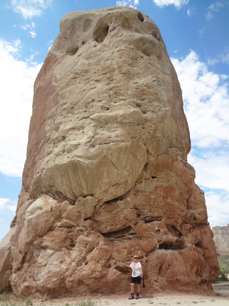
Below: Lee Duquette
photographed Chimney Rock with a wide angle camera lens which made it
look totally different than the above photos. |
|
 |
|
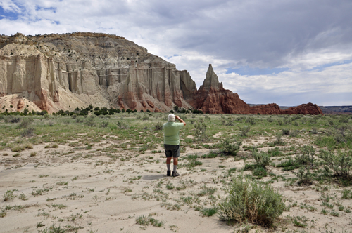
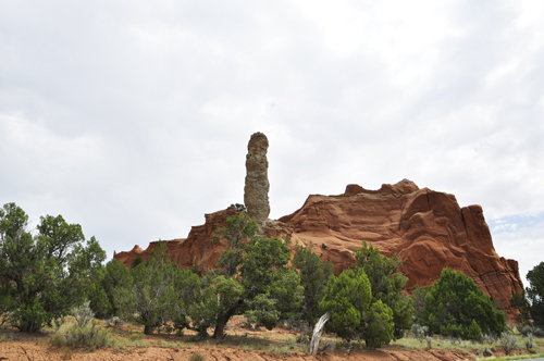
Below: The view
from the side of Chimney Rock. The pointed formation in the image below
is called the Colossus of Cannonville. (Cannonville is 9 miles away).
It is on the Bureau of Land Management land, and was the site of a spectacular
climb a few years ago. The Colossus of Cannonville is on BLM land (climbing
is now forbidden within Kodachrome). |
|
|
|
|
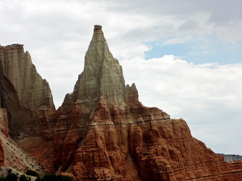
The Colossus of Cannonville
is a fine-grained formation of Entrada sandstone and Henrieville sandstone
(the lighter layer).
 This
was the site of a radically difficult climb by Steve “Crusher”
Bartlett, a solo climb. The climb was so difficult that he only averaged
about 60 feet per day, as the grainy surface crumbled like hard sugar.
Kodachrome Basin rangers stopped by to watch a part of the climb in
total amazement. It took Mr. Bartlett six days to climb the 400 foot
tower. He was the first person to stand on the summit. (No, the climb
did not take place while the two RV Gypsies were here) This
was the site of a radically difficult climb by Steve “Crusher”
Bartlett, a solo climb. The climb was so difficult that he only averaged
about 60 feet per day, as the grainy surface crumbled like hard sugar.
Kodachrome Basin rangers stopped by to watch a part of the climb in
total amazement. It took Mr. Bartlett six days to climb the 400 foot
tower. He was the first person to stand on the summit. (No, the climb
did not take place while the two RV Gypsies were here)
|
|
|
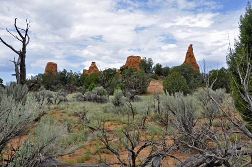
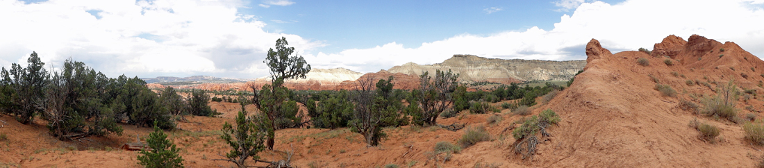
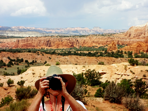
Below; Looking far into the distance
to the right of Chimney Rock. |
|
|
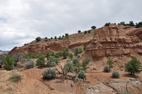
Next, the two RV Gypsies embarked
on a popular hike, the easy 1/4-mile trail to Shakespeare Arch,
the only large natural arch within the park. |
|
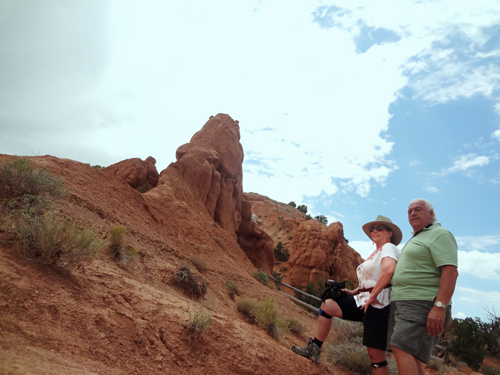
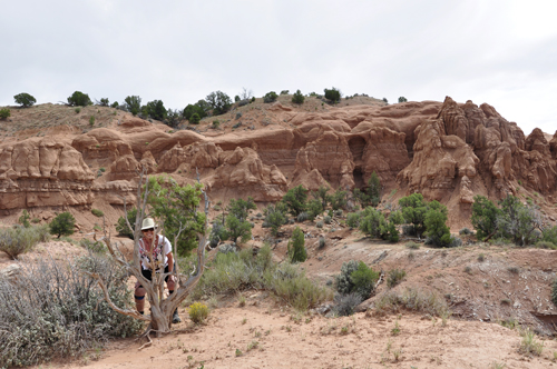
Below: The photo of the two
RV Gypsies at Kodachrome Basin State Park was taken with a self-timer
camera set on a rock, so they are a bit-lopsided. They did not hike
or climb any closer to the hoodoos, because they followed the trail
that runs alongside the formations. |
|
Below: The view from the trail to Shakespeare
Arch. |
|
|
|
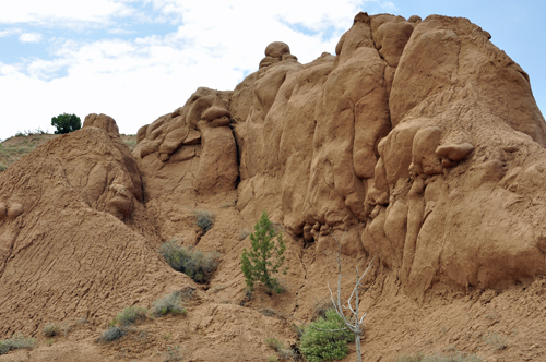
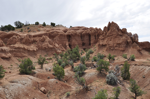
Below: Some of the eerie sandstone hoodoos
on the Shakespeare Arch trail. |
|
|
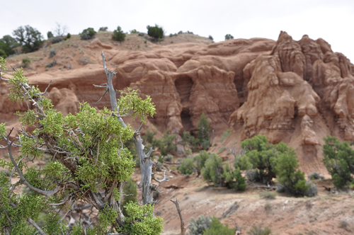
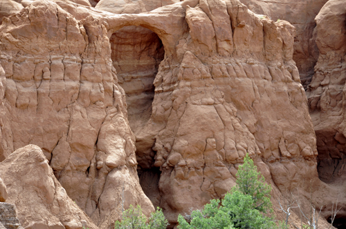
Below: Shakespeare Arch peeks
out of a hoodoo-laden sandstone formation in Kodachrome Basin, and stands
180 feet over the trail. Note the unusual tiered structure of Shakespeare
Arch. |
|
|
Below: Thanks to a close-up
lens, the two RV Gypsies got the photograph of the Arch that they wanted,
and decided not to hike any further. |
|
|
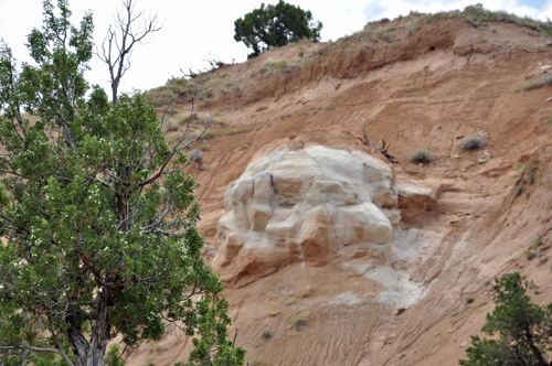
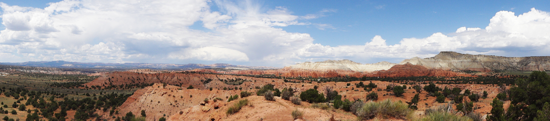
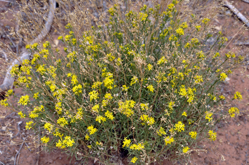
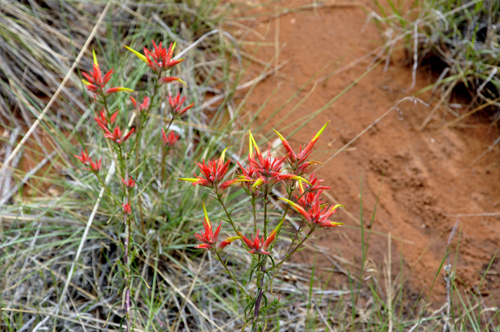
Below; The short
Shakespeare Arch trail has a few features other than the hoodoos and
the distant views of Grand Staircase Escalante.
|
|
|
|
|
|
|
|
|
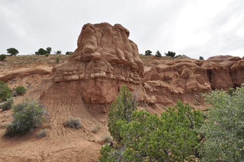
Below: Grand Parade Sand Pipe |
|
|
|
|
|
|
|
|
|