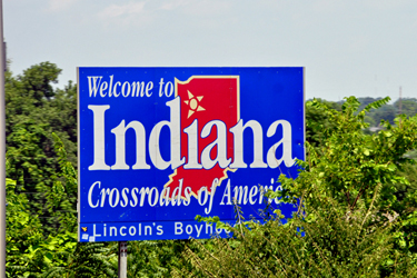
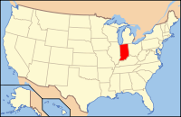
in Scott County, Indiana
July 17, 2010
|
in Scott County, Indiana July 17, 2010 |
 |
Scott County was formed in 1820 from parts of Clark, Jackson, Jefferson, Jennings, and Washington Counties It was named for General Charles Scott, who was Governor of Kentucky from 1808 to 1812. Much of its water supply comes from Hardy Lake. | 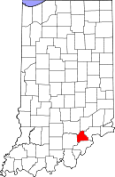 |
| According to the U.S. Census Bureau, the county has a total area of 193 square miles, of which 190 square miles is land and 2 square miles(1.21%) is water. | ||
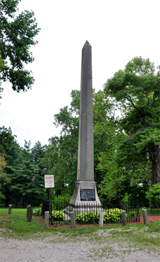
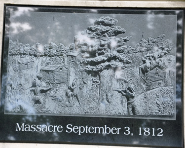
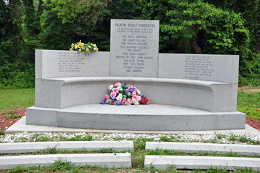
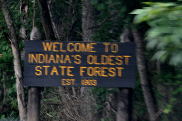
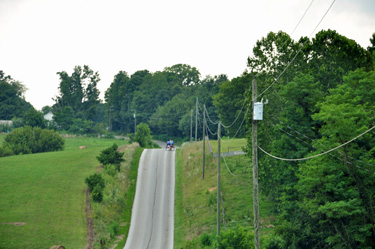
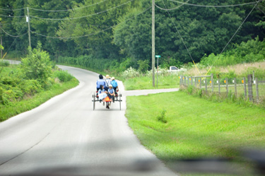
| Lee and Karen Duquette took a self-guided driving tour through Scott County, Indiana. Below are photos from the highlights of that drive - approximately 55 miles, 2-1/2 hours from the beginning to the end on State Route 56. | |
 |
 |
 |
 |
 |
|
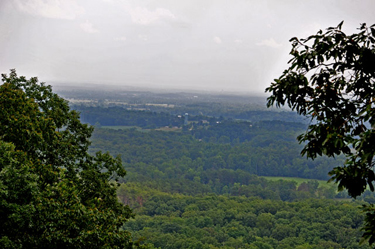
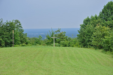
| Below: Overlook of the Ohio Valley at Clark Forestry. On clear days you can see the smoke stacks at Ghent, Kentucky, approximately 30 miles away. To the South is the Louisville, Kentucky skyline. Unfortunately, it was a cloudy day when Lee and Karen Duquette visited this overlook. | |
 |
 |
 |
|
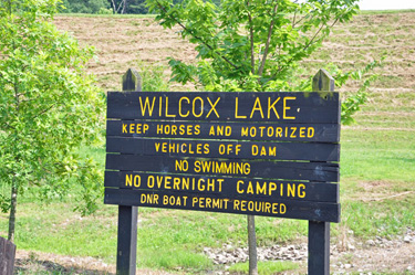
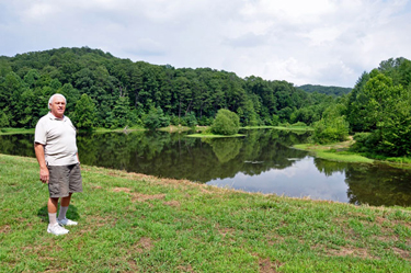
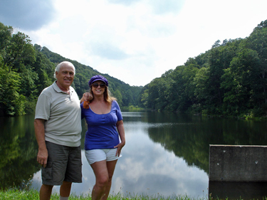
Below: Lee Duquette at Wilcox Lake in Clark County, Indiana |
|
 |
 |
 |
|
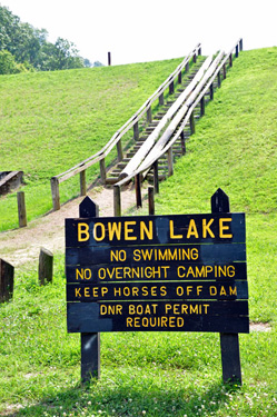
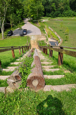
Below: The two RV Gypsies
climbed the 37 log steps to see Bowen Lake |
|
 |
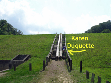 |
Below: The
two RV Gypsies, Lee and Karen Duquette, reached the top of the log steps
and looked back down at their truck. They learned that the unique log
boat slide was used to pull fishing boats and canoes up to the
lake. There was a gun-shooting range at the bottom of these stairs, so
it was not a quiet area. |
|
 |
 |
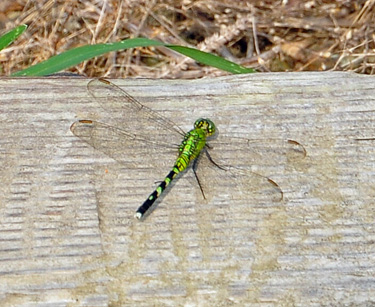
Below: Karen Duquette photographed
a green dragon fly that was on the log stairs |
|
 |
|
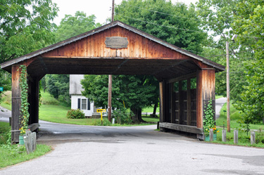
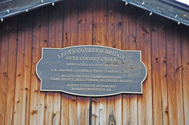
| Below: Loeta Covered Bridge: Two aspects of this bridge are very unique; First, it is the site of the original Cincinnati/Vincennes Road intersection and the Buffalo Trace which the buffalo followed to the salt licks. Second, it is the only known crossroads which intersect over a creek. | |
 |
 |
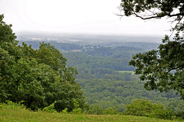
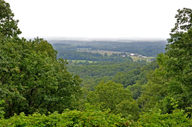
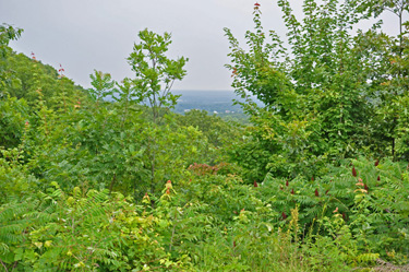
| Below: Overlook of Scott County: the flat area is an old lake bed. This is called "The Knobs" a ridge of hills which angle through central Indiana. Oceanic fossils have been found in these hills from the Illinoian Advance glacier during the Ice Age, 140,000 to 300,000 years ago. | |
 |
|
| Unfortunately, it was not a very clear day when Karen Duquette took the photos shown below at the Overlook of Scott County. | |
 |
 |
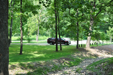
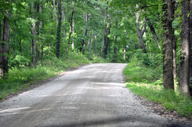
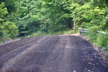
| Below: Then Lee Duquette continued the drive, through hilly roads, muddy roads, gravel roads, and a freshly oiled road. There were several other points of interest on this driving tour of Scott County, Indiana, but somehow, the two RV Gypsies did not come across all of them. | |
 |
 |
 |
 |
 Please continue the journey to Jellystone Park, Raintree Lake, Scottsburg,
Indiana
Please continue the journey to Jellystone Park, Raintree Lake, Scottsburg,
Indiana |
|
OR After you have seen all of the above,Continue Navigation in any year, any place, in the order
of your choice |
|||||

|
|||||
 |
 |
 |
 |
 |
 |
 |
 |
 |
 |
 |
 |
 |
 |
 |
 |
 |
 |
 |
 |
 |
 |
 |
 |