The Two RV Gypsies: Full-Time RVers
drove to Guadalupe Mountains National Park
400 Pine Canyon Drive
Salt Flat, TX 79847
October 9, 2012

USA map showing where the state of Texas is locatedState of Texas map showing where Guadalupe Mountains National Park is located

While driving on TX-54 through Fort Hancock, Texas, the speed limit was 80 mph. More importantly, both of the two RV Gypsies' cell phones, with AT&T coverage sent a text message to them saying "welcome abroad - international roaming charges may apply". SAY WHAT ????? Listen up, AT&T - Texas is still in the USA!!!!

Welcome to Texas sign
sign: speed limit 80 mph
Texas star monument

Below: Before going to Guadalupe Mountains National Park, the two RV Gypsies arrived at the campground - their new home for the day. The park was full of oil workers. The internet was very slow. This is not the same RV park they stayed at in 2009.

Van Horn, Texas KOA weather station
Lee Duquette by the KOA office

Below: The view from the dining room window of the two RV Gypsies' RV.

The view from the dining room window of the two RV Gypsies' RV
the RV of the two RV Gypsies at KOA

Below: The view leaving the campground

The view leaving the campground
 

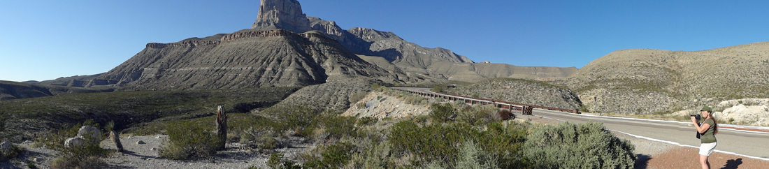
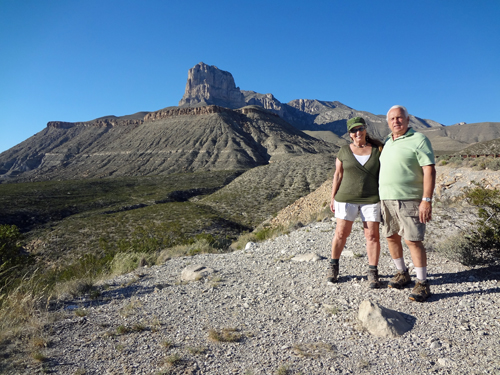
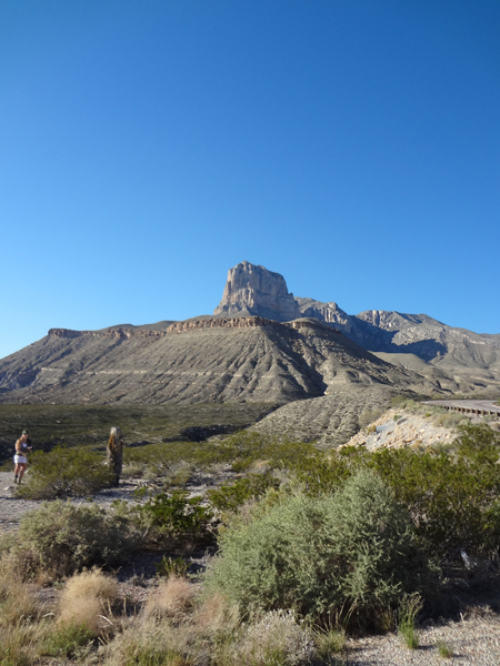
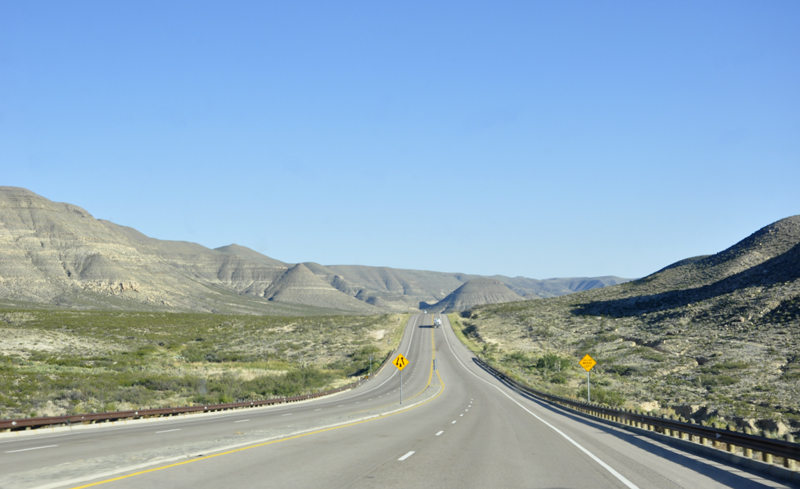
Below: Approaching Guadalupe Mountains National Park, the two RV Gypsies got their first look at El Capitain:

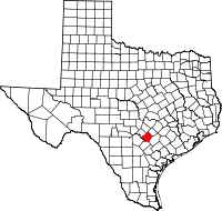
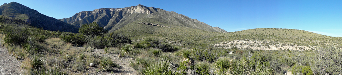
El Capitain is a peak in Culberson County, Texas, USA, within Guadalupe Mountains National Park. It is the eighth-highest peak in Texas, and rises abruptly out of the Chihuahuan Desert floor; it is considered the "signature peak" of West Texas.

El Capitain is the southern terminus of the Guadalupe escarpment, an ancient limestone reef that forms the present-day Guadalupe Mountains. El Capitain is guarded by cliffs on three sides, and those faces are rarely climbed due to the unstable condition of the rock and the sheer nature of the peak. Hikers can scramble up to the summit by first climbing to near the summit of Guadalupe Peak and scrambling down to the south to the Guadalupe Peak-El Capitain saddle, then up the backside of El Capitain A permit is required as there is no trail from Guadalupe Peak to El Capitain.

Used as a signal peak for hundreds of years by travelers in the area, its sheer face is visible when approaching the Headquarters Visitor Center at Guadalupe Mountains National Park from both the south and the northeast.

Karen Duquette by El Capitain in Texas

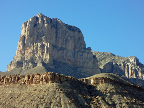
Elevation of El Capitain: 8,085 feet of Limestone Rock

The two RV Gypsies by El Capitain in Texas
Karen Duquette by El Capitain in Texas

The summit of El Captain

The summit of El Capitain

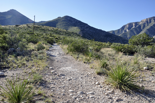
Below: The two RV Gypsies continued their drive to Guadalupe Mountains National Park.

the road to Guadalupe Mountains National Park

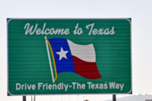
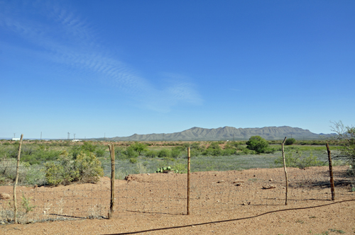
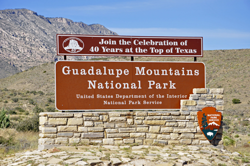
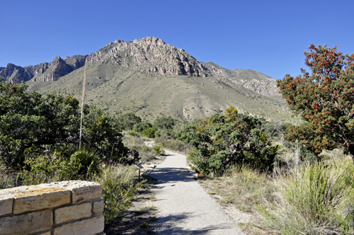
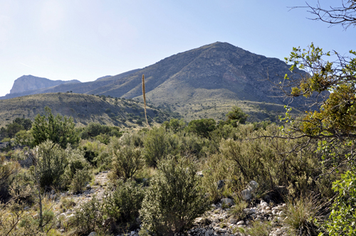
Below: The two RV Gypsies arrived at Guadalupe Mountains National Park in the Guadalupe Mountains, east of El Paso, Texas. The mountain range includes Guadalupe Peak, the highest point in Texas at 8,751 feet, and El Capitan (shown above) which were used as landmarks by early travelers on the route and by the Butterfield Overland Mail stagecoach line. The park covers 86,367 acres (134.9 square miles) and is in the same mountain range as Carlsbad Caverns National Park, about 25 miles to the north in New Mexico. The Guadalupe Peak Trail winds through pine and Douglas-fir forests as it ascends over 3,000 feet to the summit of Guadalupe Peak, with views of El Capitan and the Chihuahuan Desert.

sign: 40 years at the Top of Texas
sign: Guadalupe Mountains National Park

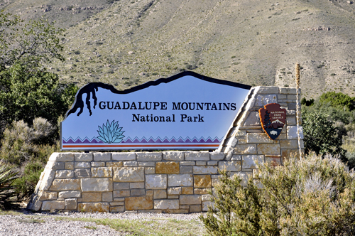
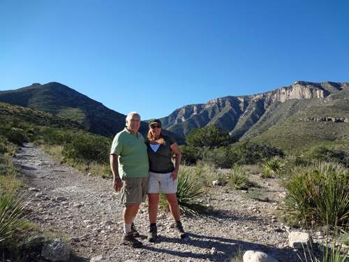
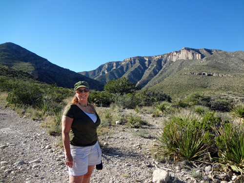
When the two RV Gypsies were at Guadalupe Mountains National Park in 2009, they hiked the mountain all the way to Guadalupe Peak, which is near the summit (the highest you can go without a permit). You can use the underlined link to see that trip, but please return here because each visit is completely different. There is a link at the bottom of that page back to here.

But they never want to hike anything that strenuous again. 
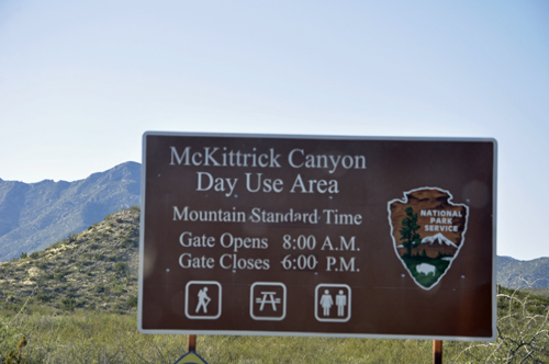
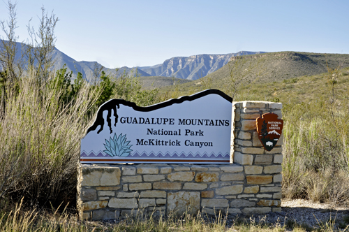
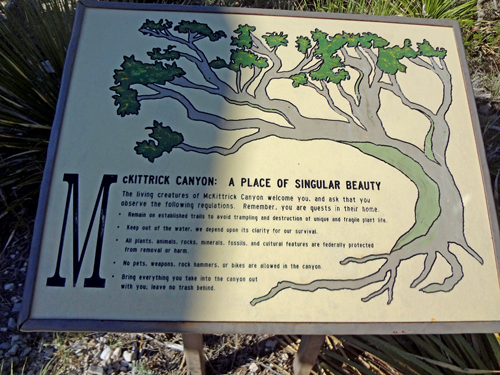
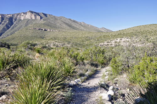
So this time, the two RV Gypsies thought they would take a look at McKittrick Canyon. However, when they found out that this was a 6.8 miles round-trip, so they decided not to hike at all. But they did take some nice photos of the trailhead.

sign: McKittrick Canyon
sign: McKittrick Canyon at Guadalupe Mountains NP
sign about McKittrick Canyon
Approaching Guadalupe Mountains National Park, the two RV Gypsies get their first look at El Capitain
the trailhead at McKittrick Canyon
the two RV Gypsies at McKittrick Canyon
Karen Duquette at McKittrick Canyon

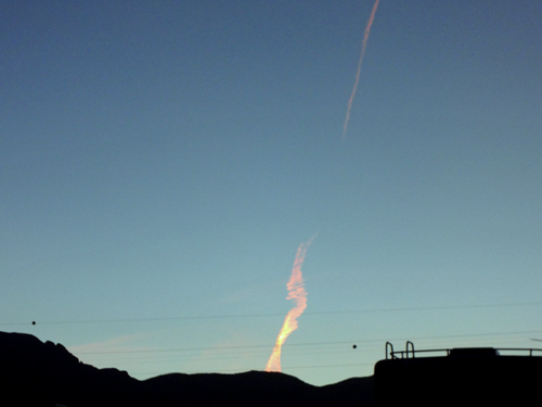
Below: An airplane flew overhead and then the sun reflected fire-like beauty in the airplane's exhaust.

airplane magic
look below for menu options

go to the next adventure of the two RV Gypsies Please continue on to Big Bend National Park; The Rio Grande River that divides the USA from Mexico and more.

OR

Continue Navigation in the order of your choice
via the alphabetical or category buttons below

search for items on this webpage beginning with the letter A search for things on this website beginning with the letter B search for things/places on this website starting with the letter C search for things/places on this website starting with the letter D search for things/places on this website starting with the letter E search for things/places on this website starting with the letter F search for things/places on this website starting with the letter G search for things/places on this website starting with the letter H search for things/places on this website starting with the letter I search for things/places on this website starting with the letter J search for things/places on this website starting with the letter K search for things/places on this website starting with the letter L search for things/places on this website starting with the letter M search for things/places on this website starting with the letter N search for things/places on this website starting with the letter O visit places the two RV Gypsies have been that start with the letter P search for things/places on this website starting with the letter P search for things/places on this website starting with the letter R search for things/places on this website starting with the letter S search for things/places on this website starting with the letter T search for things/places on this website starting with the letter U search for things/places on this website starting with the letter V search for things/places on this website starting with the letter W search for things/places on this website starting with the letter Y search this website for things/places starting with the letter Z such as ziplines find anything starting with the letter Q on this website
 
Menu for The two RV Gypsies in Alaska
The two RV Gypsies in Canada Countries the two RV Gypsies visited cruises Lee and Karen Duquette enjoyed USA Destinations
About Lee and Karen Duquette
Brian Duquette's life and tradgedy
e-mail The Two RV Gypsies Karen Duquette's Flashbacks Please sign the Two RV Gypsies guestbook helpful information for RVers
Art seen by the two RV Gypsies Campgrounds in the USA and Canada Gardens the two RV Gypsies visited Lighthouses the two RV Gypsies visited Links to RV friendly websites Museums the two RV Gypsies visited
National Parks the two RV Gypsies visited Oddities and unusal things and places Restaurants the two RV Gypsies visited helpful hints for RVers and campers State Parks the two RV Gypsies visited Videos by Karen Duquette
    Waterfalls the two RV Gypsies visited wildlife seen by the two RV Gypsies