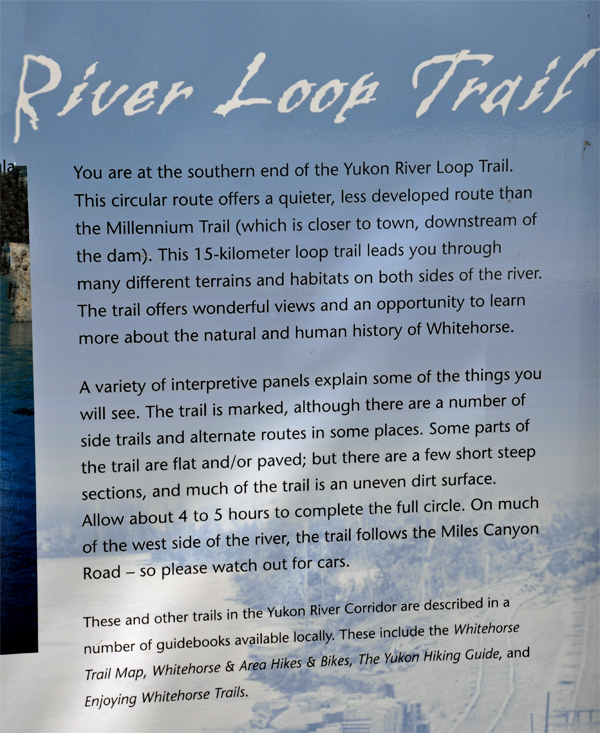
|
| |
 |
 |
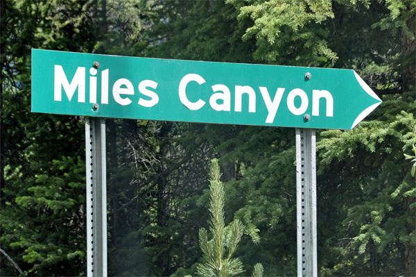
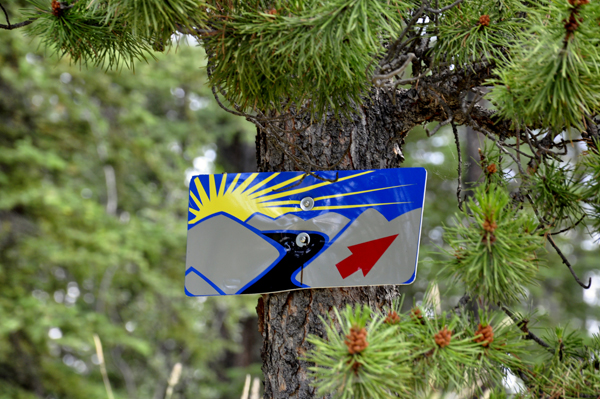
Below: A few
signs that the two RV Gypsies did not see when they were here in the
year 2009. |
 |
 |
 |
 |
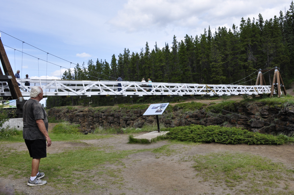
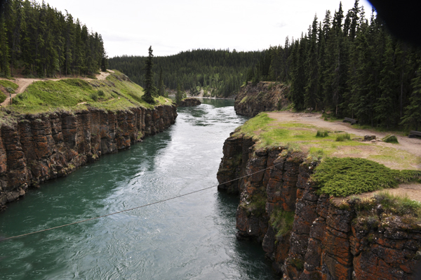
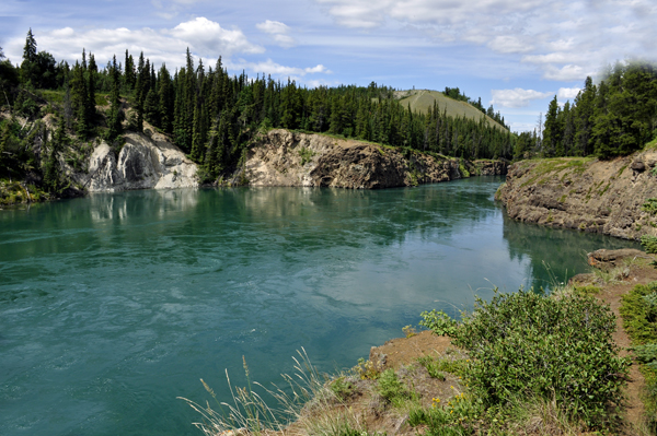
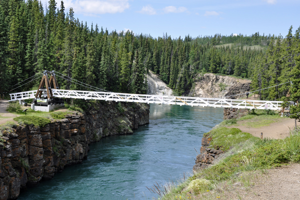
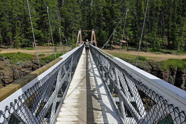
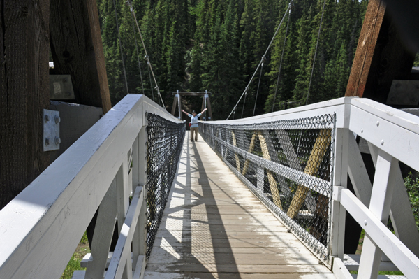
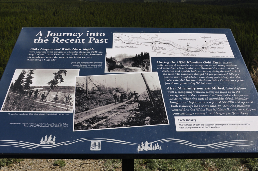
Robert Lowe Bridge:The
suspension bridge across Miles Canyon was built in 1922 and dedicated
by Governor General Lord Byng. Lowe came to the Yukon in 1899 and had
mining interests in the Whitehorse Copper belt and a successful cartage
business. Robert Lowe became a long serving local and territorial politician. |
 |
 |
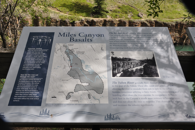
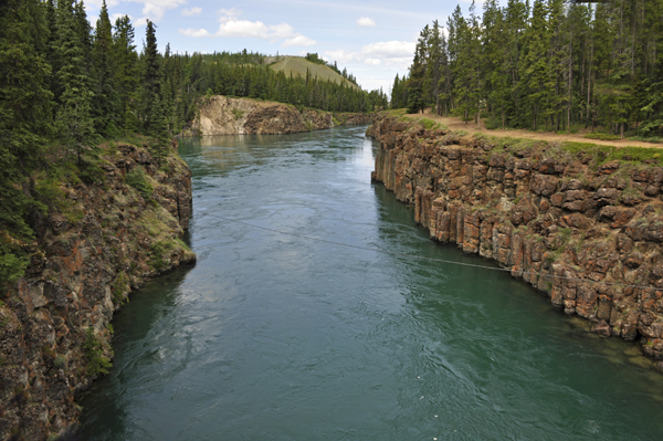
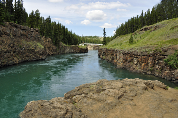
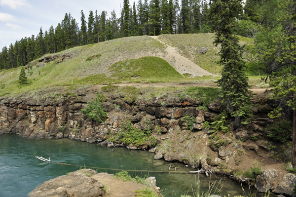
 The
Miles Canyon Basalts represent a package of rocks that
include various exposures of basaltic lava flows and cones that erupted
and flowed across an ancient pre-glacial landscape in south-central
Yukon. The
Miles Canyon Basalts represent a package of rocks that
include various exposures of basaltic lava flows and cones that erupted
and flowed across an ancient pre-glacial landscape in south-central
Yukon.
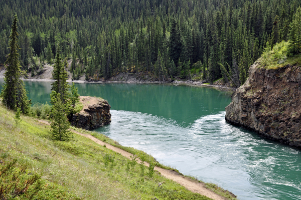
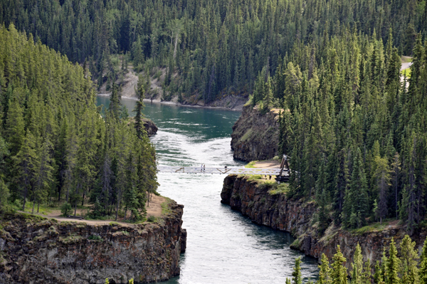
The volcanic rocks are best exposed and most easily accessible at
the Miles Canyon location where the Yukon River cuts through a succession
of flows south of Whitehorse. These rapids and the Miles Canyon provided
a significant challenge to gold-seekers heading to the Klondike Gold
Rush, and also established the upstream terminus for paddle-wheel river
boats. This, the Miles Canyon Basalts are the reason for the establishment
of the townsite of Closeleigh, eventually the City of Whitehorse.
The Miles Canyon Basalts were thought to be Pleistocene age. However,
geological investigations supported by geochronological analyses indicate
that these rocks are much older. The flows along the Miles Canon here
are 8.4 million years old (Miocene). |
 |
 |
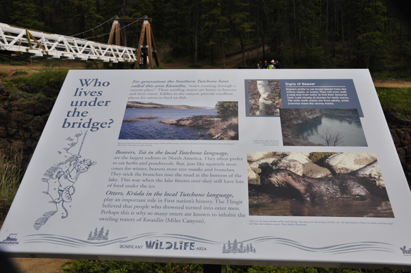
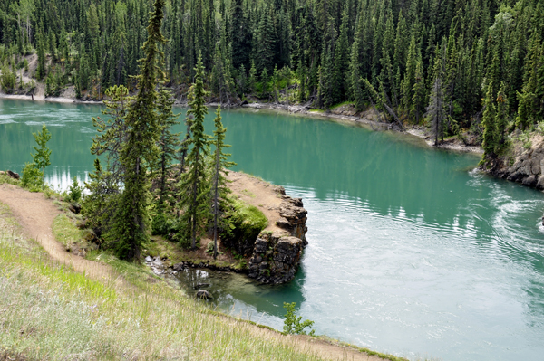
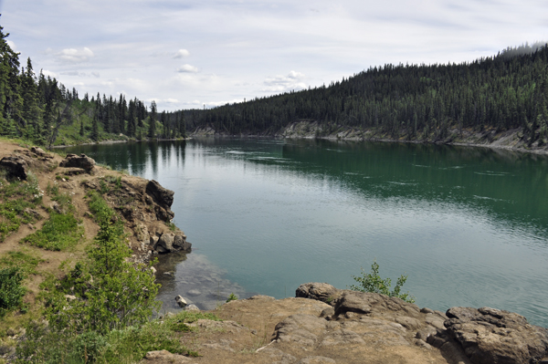
Originally referred
to as Grand Canyon, Fredrick Schwatka renamed it in July of 1883 to
Miles Canyon after General Nelson Miles. Schwatka wrote, “Through
this narrow chute of corrugated rock the wild waters of the great river
rush in a perfect mass of milk-like foam, with a reverberation that
is audible for a considerable distance.” Although accounts
differ as to the ferocity of the rapids, there is no question that they
were very dangerous. During the Gold Rush, hundreds of boats loaded
with precious supplies were lost (as well as several lives) before the
Northwest Mounted Police arrived to regulate traffic.
Eventually a wooden rail system around the canyon eliminated the need
to battle this hazard. The hydroelectric dam constructed to provide
power to Whitehorse has tamed Miles Canyon, but drifting through its
50-foot high basaltic walls is still a thrill.
|
 |
 |
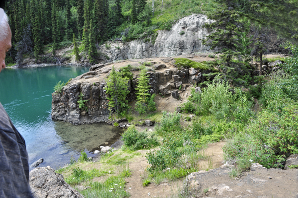
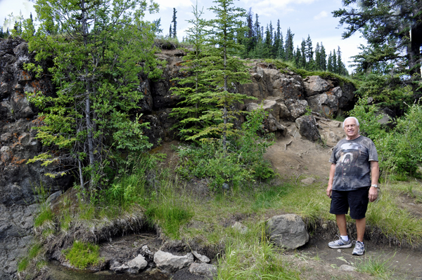
Below: Views
of the big rock that the two RV Gypsies climbed up on. (Photos
a bit further below on this page). |
 |
 |
Below: Lee
Duquette looking at the big rock that he will soon climb. |
 |
 |
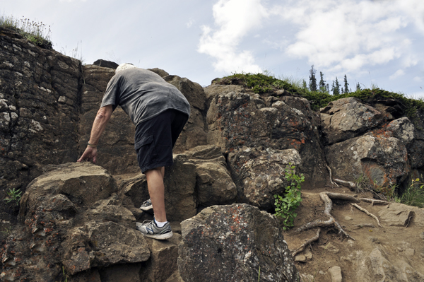
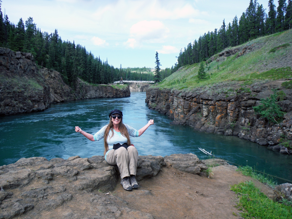
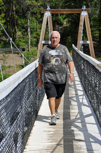
The two RV Gypsies
climbed up the big rock to get another look at the suspension
bridge, just as they did in 2009. It was a harder climb this time than
it was in 2009. Wonder why! Duh! |
 |
 |
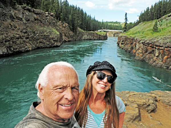
Below: Views
of the bridge as seen from the big rock. |
 |
 |
Below: The two
RV Gypsies on the big rock at Miles Canyon |
 |
 |
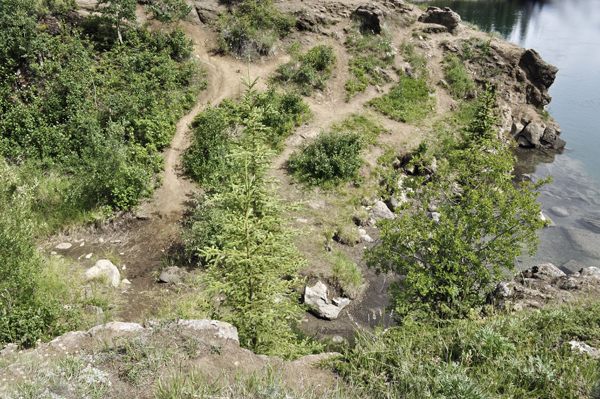
Below: The two
RV Gypsies took a photo of part of the upper and lower trails to the
big rock as seen from the big rock. Then they walked to
the other side of the big rock to photograph the river from
that angle. |
 |
 |
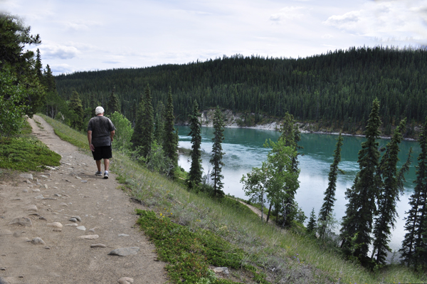
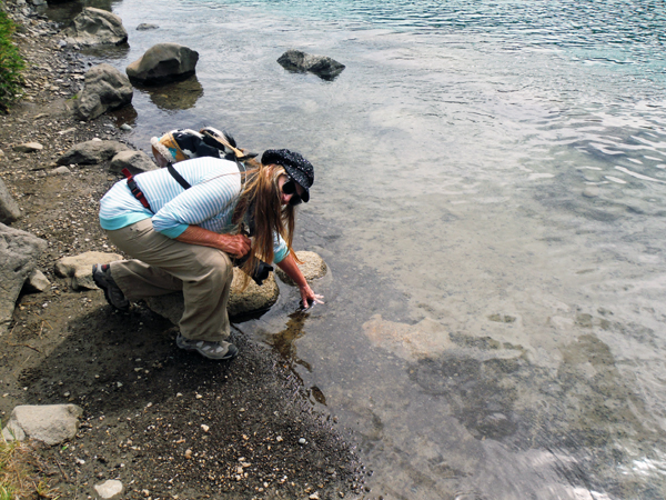
Below: Looking
straight down from the big rock at the trail below. After climbing
back down off of the big rock to the exact spot shown in the
photo below on the left, Karen Duquette just had to feel the temperature
of the water, as she does almost every place she goes. Sometimes Karen
even walks into the water, but not this time. |
 |
 |
Below: Then it
was time for the two RV Gypsies to walk back over the Robert Lowe Suspension
Bridge and drive to the Observation Point. |
 |
 |
 |
|
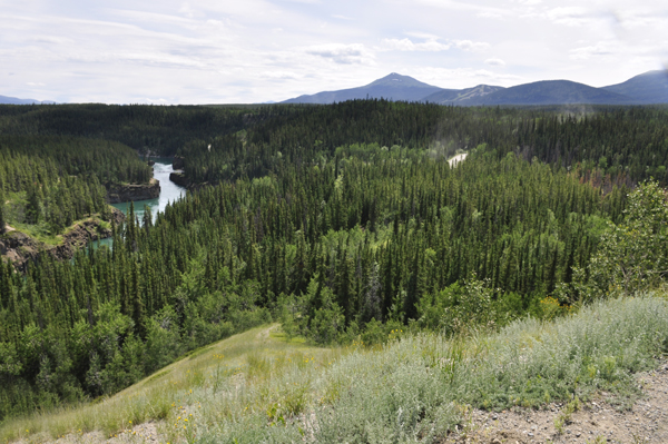
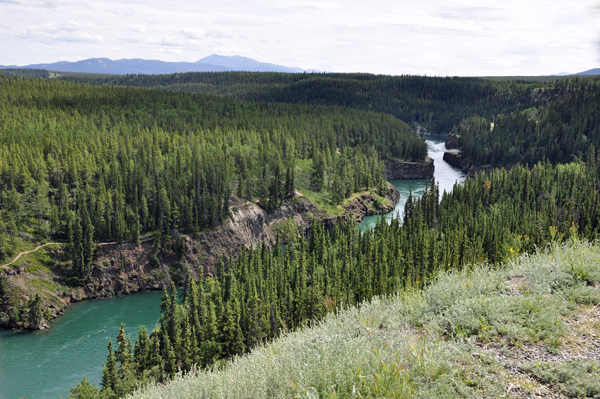
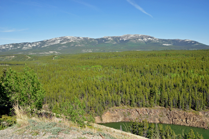
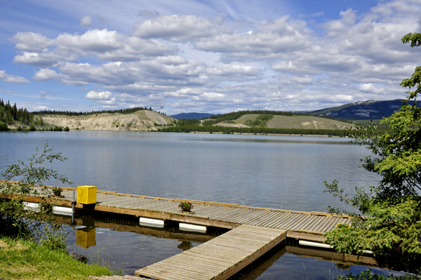
Below: The two
RV Gypsies drove their car to the nearby observation area and enjoyed
the view looking back at Miles Canyon where they just hiked. |
 |
 |
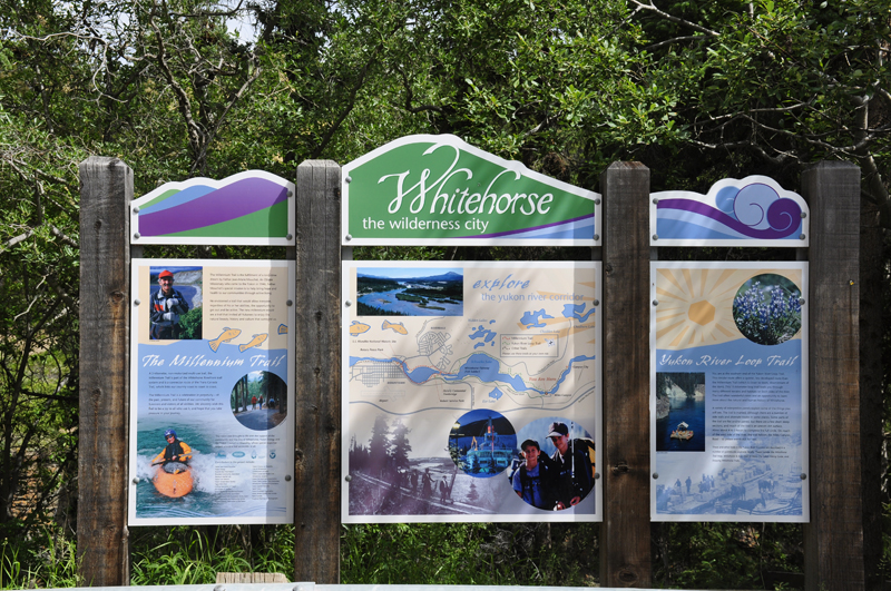
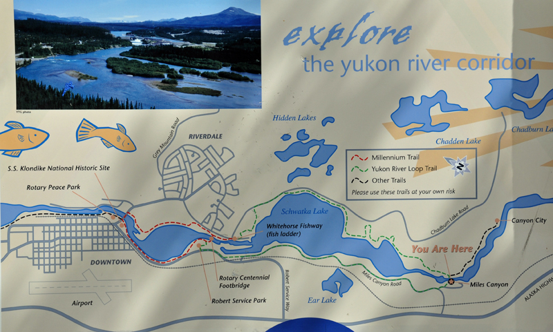
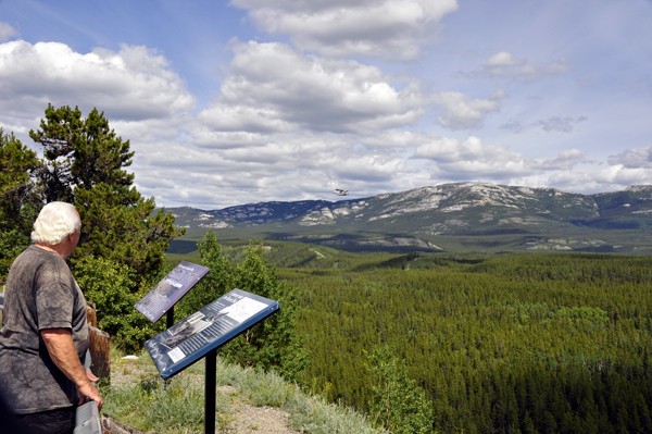
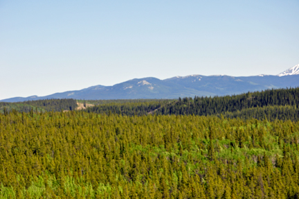
Below: While
Karen Duquette photographed the amazing view, Lee Duquette read the
signs. Close-ups of the signs are also posted below. |
 |
 |
 |
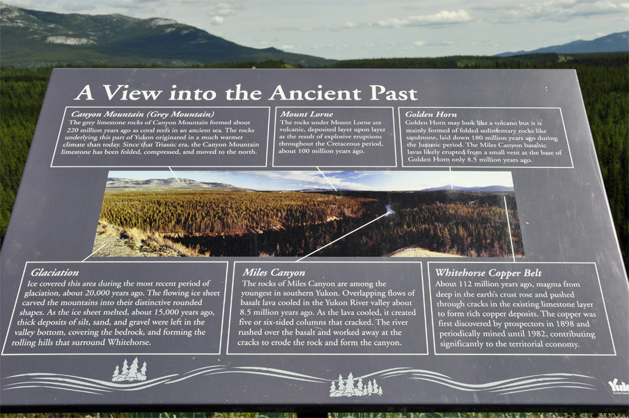 |
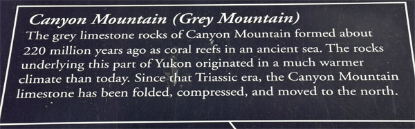
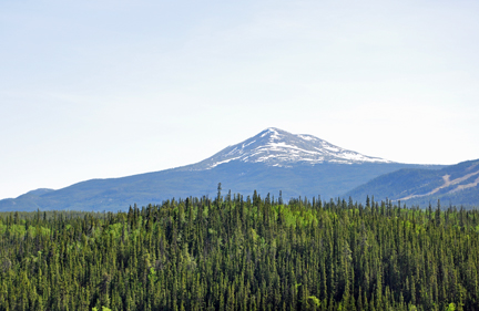
Below: Grey
Mountain (as described in the sign above): These grey rocks are
lime stones that formed in ancient tropical seas containing coral reefs.
These tropical seas existed approximately 220 million years ago during
Triassic time. They indicate that rocks underlying this part of the
Yukon originated in a much warmer climate and have since been displaced
northward. These rocks have been completely deformed and folded subsequent
to their deposition millions of years ago. They now have little resemblance
to their origin as a coral reef. |
|
|
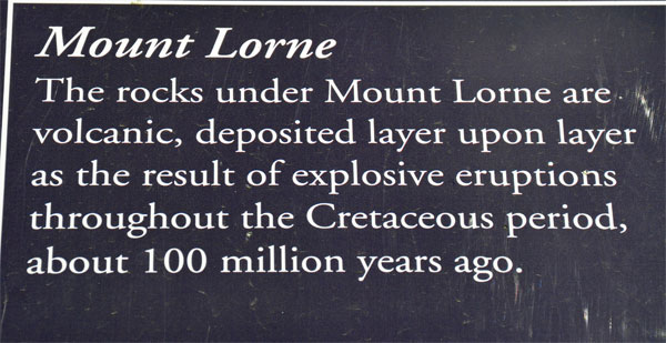
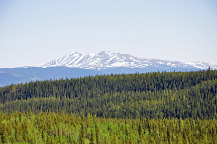
Below: Mount
Lorne - Rocks underlying this mountain are composed of volcanic
strata. These strata were deposited on land during explosive eruptions
throughout the Cretaceous period, about 100 million years ago. |
|
|
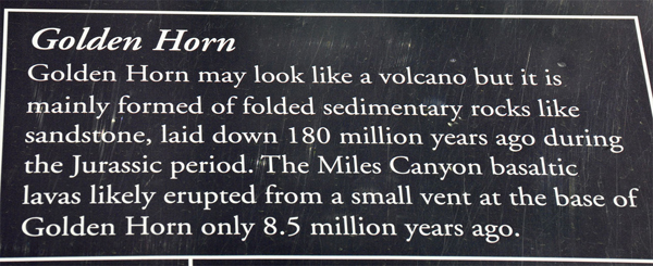
Below:
Golden Horn |
|
|
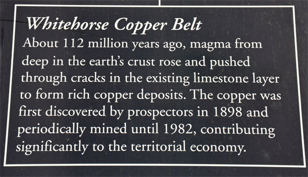
Below:
Copper Belt - Approximately 112 million years ago, hot magma,
which originated deep in the earth's crust, intruded into existing lime
stones. Where the magma came into contact with the limestone, "skarns"
were formed, creating rich copper deposits. These deposits encouraged
prospectors on their way to the Klondike in 1897. The mining opportunities
in the Whitehorse area contributed significantly to the economy of the
town until the mines closed in 1982. |
|
|
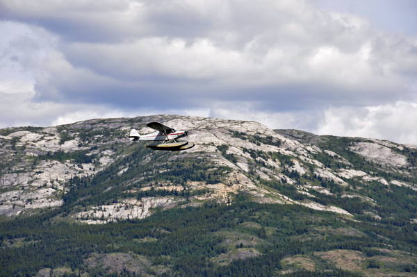
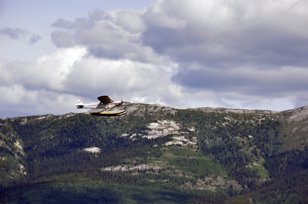
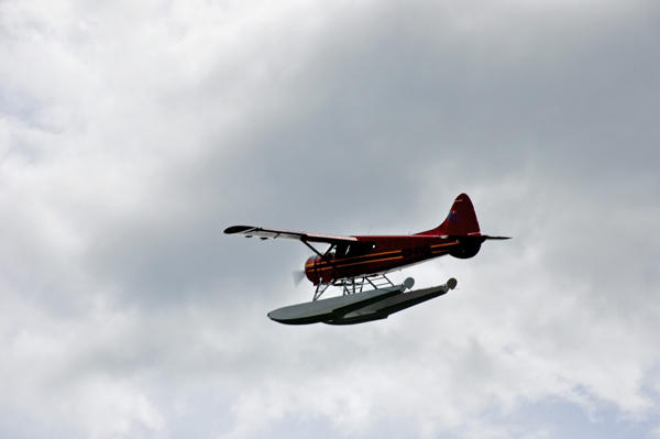
Below: A float
plane flying low over the mountain. |
 |
 |
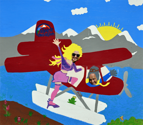
Below: After
leaving Miles Canyon and the Observation Point, the two RV Gypsies made
a quick roadside stop to take some fun photos. |
|
|
|
FYI: The two
RV Gypsies were also at Miles Canyon in 2009 and those photos can be
seen by clicking
here. There will be a link at the bottom of that page to return
you here so you can continue on in 2016. The photos are mostly different,
but of course some will be of the same places as above. |

 Continue on to a day trip on to