| Two
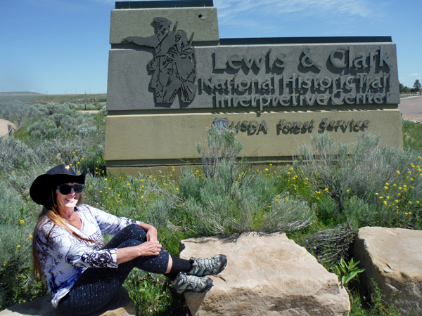
RV Gypsies: Full-Time RVers at Lewis and Clark National Historic Trail Interpretive Center Page 2 of 2 |
|
 |
|
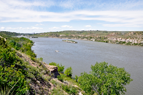
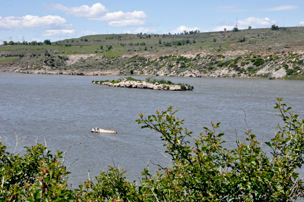
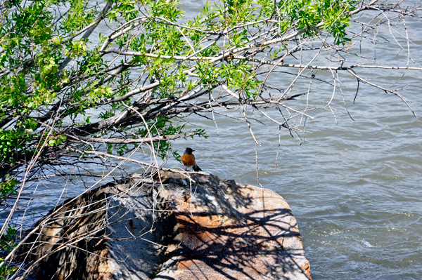
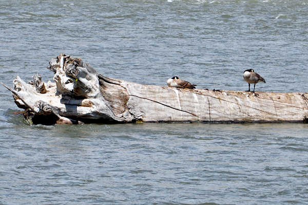
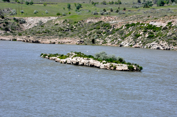
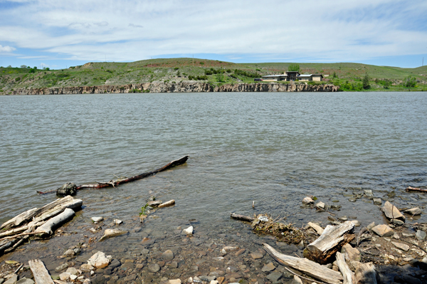
The Lewis and Clark Interpretive Center is built into a scenic bluff with spectacular views of the Missouri River. So the two RV Gypsies began this exploration at The Broadwater Overlook, on the right side of the building, which provided the two RV Gypsies with a great view of the Missouri River, and a small island full of birds. |
|
 |
|
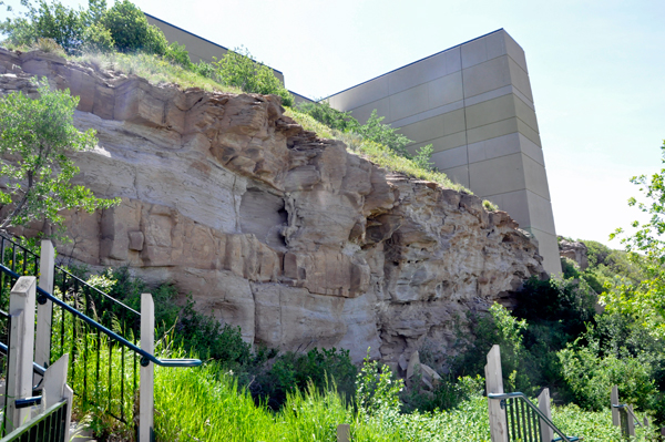
Below: Then the two RV Gypsies walked down some stairs alongside the cliff and the building, then down a long pathway to get to the Cliff Trail. |
|
 |
|
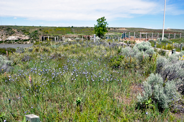
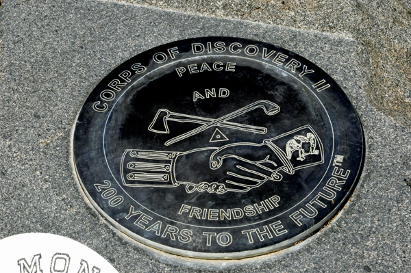
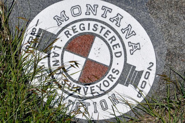
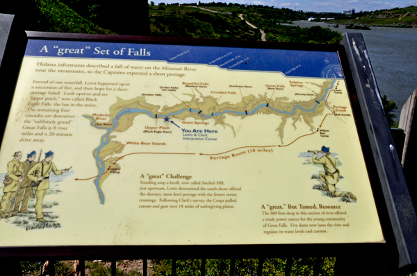
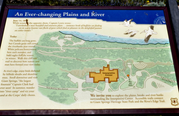
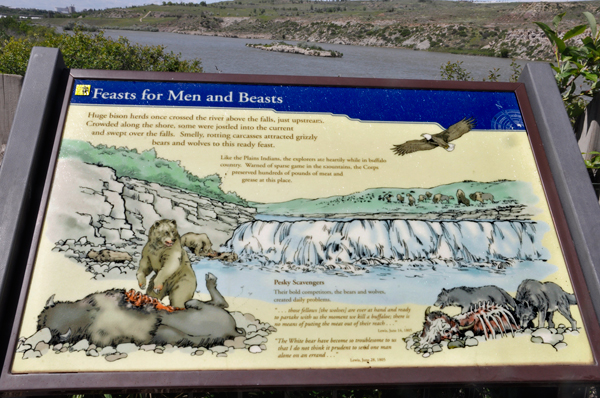
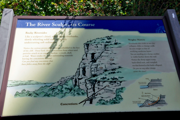
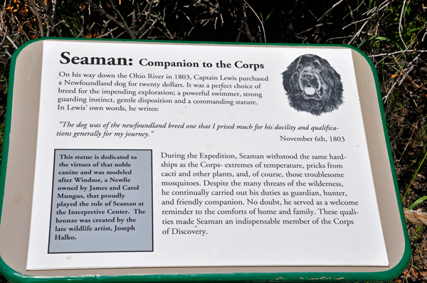
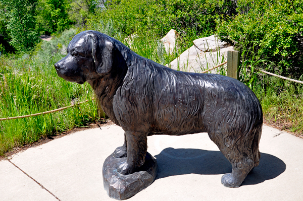
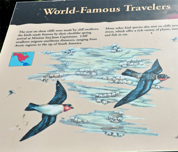
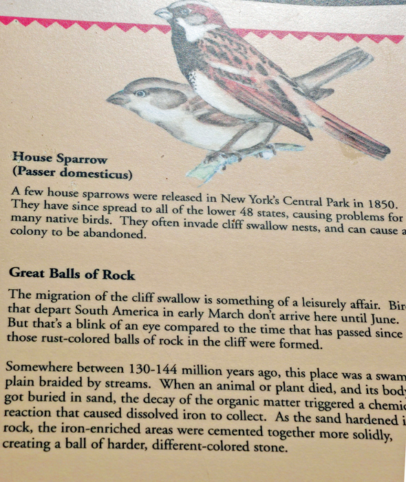
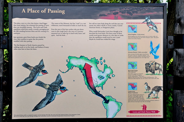
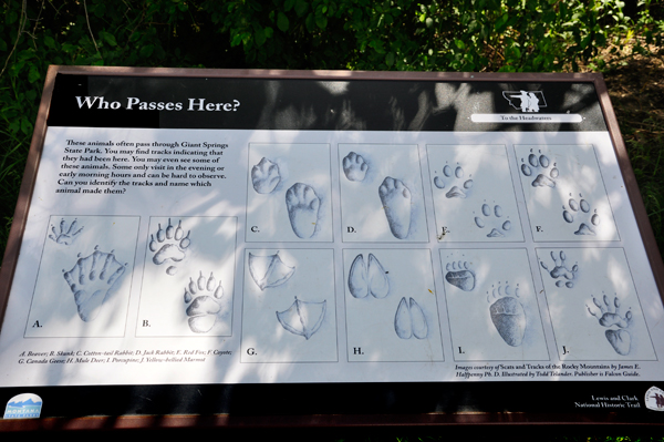
Below: Once down on the Cliff Trail, the two RV Gypsies stopped to read the four signs shown below. If you like history, click on each of the four signs so they will be BIG enough to read. If not interested in reading the signs, just continue on down this page. |
|
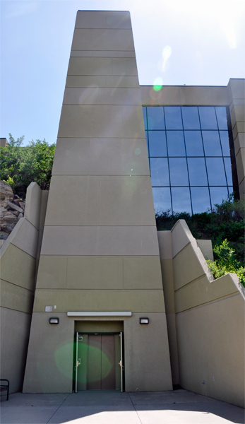
Below: The elevator that goes up and indoors to the Interpretive Center. The two RV Gypsies decided that they would use the elevator when it is time to go inside the Interpretive Center, rather than go back up the stairs they just came down. |
|
 |
|
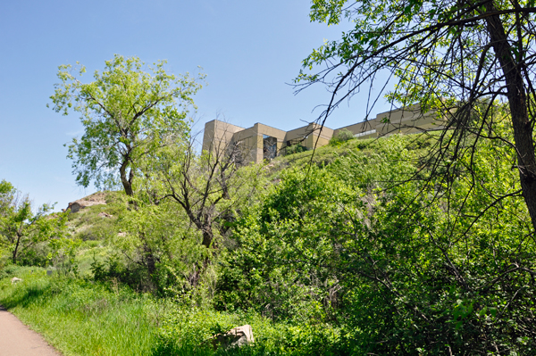
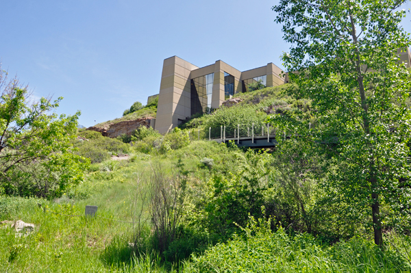
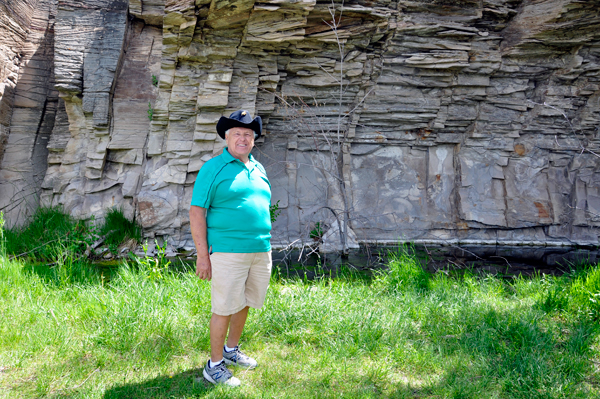
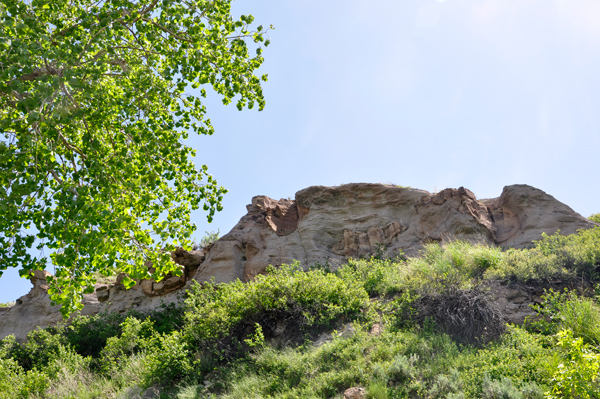
Below: Looking up at the top of the Interpretive Center from the Cliff trail. |
|
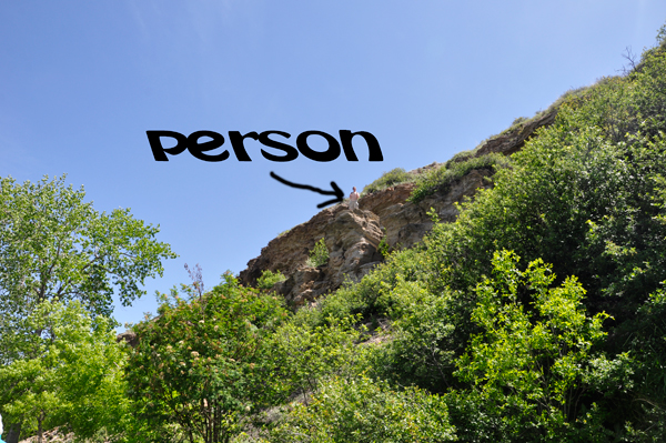
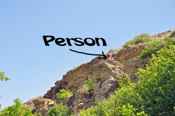
Below: Then the two RV Gypsies heard loud voices and knew there were people at the top of the cliff. |
|
 |
|
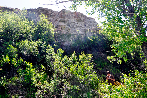
Below: Suddenly the two RV Gypsies saw a person trying to come down the side of the cliff. |
|
 |
 |
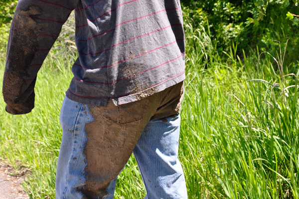
Below; Two more people emerged from the thicket. The first dude had his butt all covered with mud and he was laughing so hard, so Karen Duquette just had to take a photo.The second dude was poking at his fingers as he was emerging, because he was trying to get the mud out of his fingernails. |
|
 |
 |
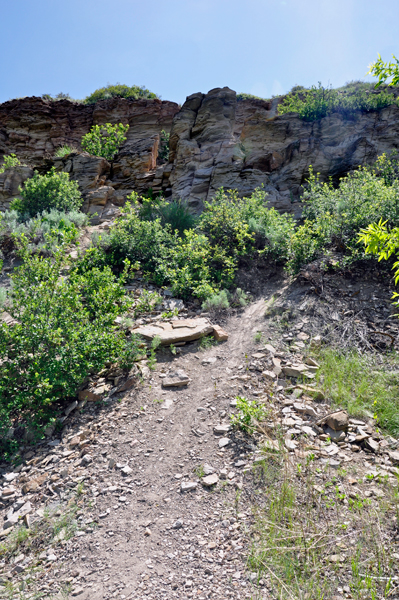
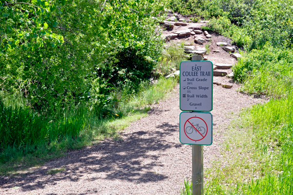
Below: A few feet way, the two RV Gypsies came to a trail going up (or coming down) from the cliff. the sign said it is a 20% grade, cross slope of 5%, and trail width of 2-feet. No thanks! (But that would have been easier than where the dudes above came down from). |
|
 |
 |
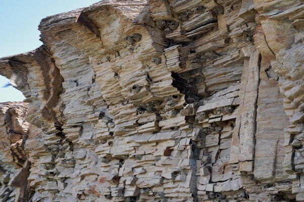
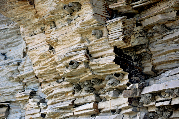
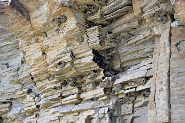
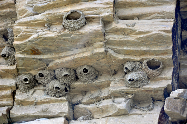
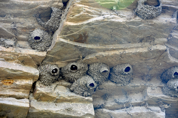
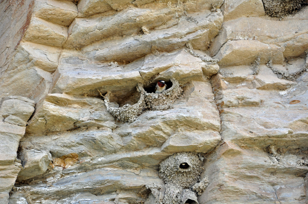
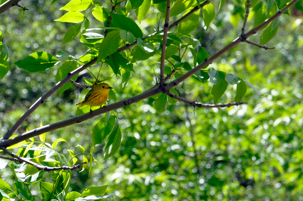
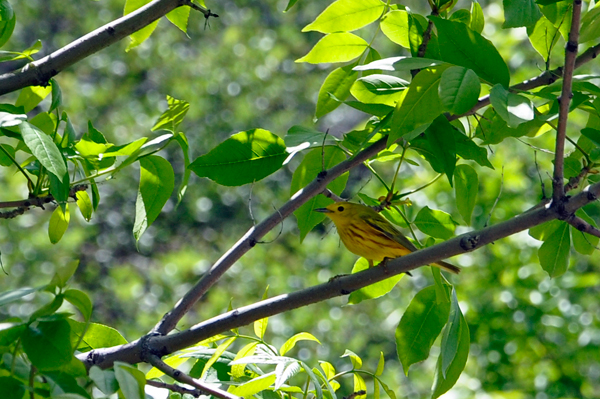
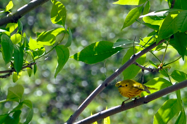
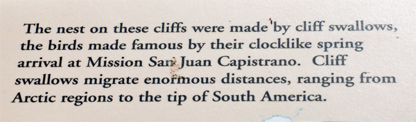
Below: After reading the signs below, the two RV Gypsies were amazed as they watched birds feeding their babies that were inside holes in the cliffs. Karen Duquette photographed them, but they are hard to see in the photos. |
|
 |
|
Below: All the white specks seen in the holes are baby birds. The parent birds kept flying into the holes to give them food. |
|
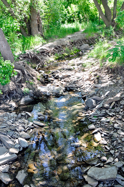
Below: Continuing down the Cliff Trail, the two RV Gypsies heard a small waterfall, but they could not get close enough to see more than an itsy-bitsy glimpse of it. |
|
 |
 |
 |
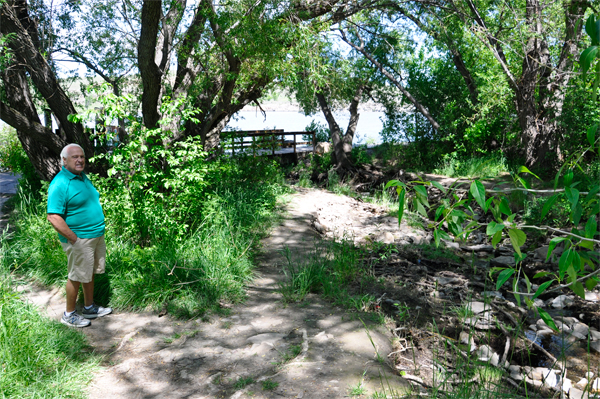 |
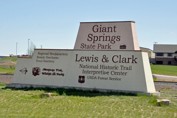
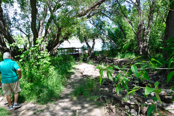
Below: The two RV Gypsies realized that they had walked far enough on the trail to come to Great Springs State Park, site of another historic landmark along the Lewis and Clark Trail. For more on the state park, see the menu below. |
|
 |
 |