|
|
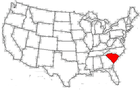
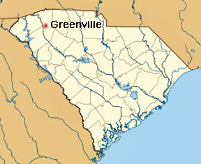
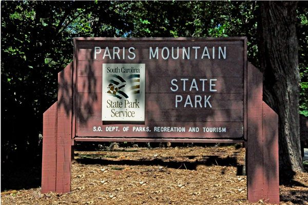
"Paris Mountain
State Park is located five miles north of Greenville,
South Carolina. Activities available in the 1,540-acre park include
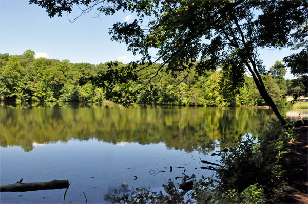
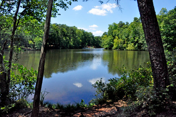
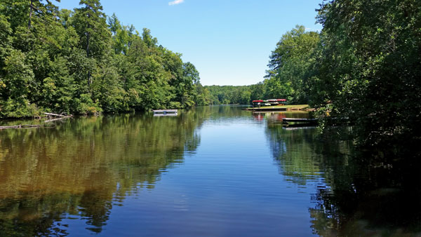
hiking, biking, swimming and picnicking. The 13-acre Lake Placid offers
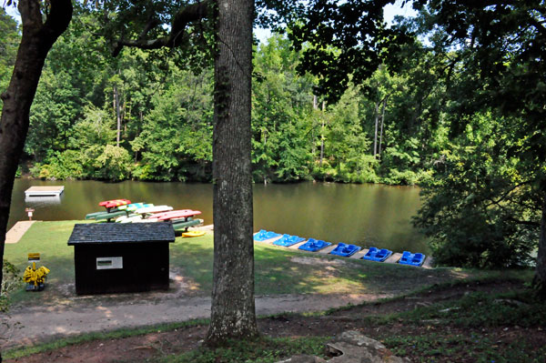
swimming and fishing. Canoes, kayaks, and pedal boats are seasonally
available for rental; private boats are not permitted. Camping is allowed
and campsites range from rustic, back country sites to paved sites with
water and electricity hook-ups. The park's Civilian Conservation Corps
(CCC) structures, including the Camp Buckhorn lodge, are listed on the
National Register of Historic Places."
 "Cherokee
Indians once dwelled on Paris Mountain before European men began to
colonize North America. The first white man settled in what is now known
as Greenville County in 1765. He was an Irishman from Virginia named
Richard Pearis. He married a Cherokee woman and became close to the
Cherokee tribe. The Indians continually gave Pearis land until his property
extended 10 square miles. Richard Pearis is the source of the name "Paris"
Mountain. In 1775, a letter from the superintendent of Indian affairs,
Jonathan Stuart was written to the Cherokee Indians chastening the Indians
for selling their lands to white men. In one part of the letter, Stuart
writes, "You are constantly listening to Richard Pearis, who cheats
you of your lands." Some of the land which Richard Pearis possessed
contained the mountain known today as Paris Mountain. Therefore, the
name "Paris" is a construed form of "Pearis". "Cherokee
Indians once dwelled on Paris Mountain before European men began to
colonize North America. The first white man settled in what is now known
as Greenville County in 1765. He was an Irishman from Virginia named
Richard Pearis. He married a Cherokee woman and became close to the
Cherokee tribe. The Indians continually gave Pearis land until his property
extended 10 square miles. Richard Pearis is the source of the name "Paris"
Mountain. In 1775, a letter from the superintendent of Indian affairs,
Jonathan Stuart was written to the Cherokee Indians chastening the Indians
for selling their lands to white men. In one part of the letter, Stuart
writes, "You are constantly listening to Richard Pearis, who cheats
you of your lands." Some of the land which Richard Pearis possessed
contained the mountain known today as Paris Mountain. Therefore, the
name "Paris" is a construed form of "Pearis".
|
| Above quotes From Wikipedia, the free encyclopedia - online at https://en.wikipedia.org/wiki/Paris_Mountain_State_Park |
|
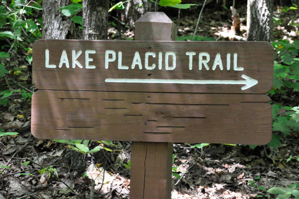
Lee and Karen Duquette began
this hike on an easy-walking, mostly-level, nature-trail loop along
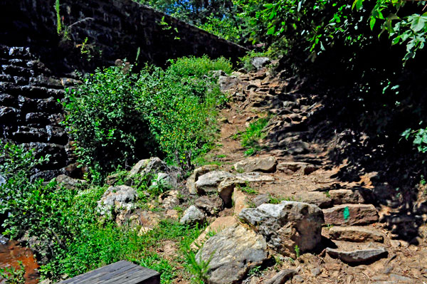
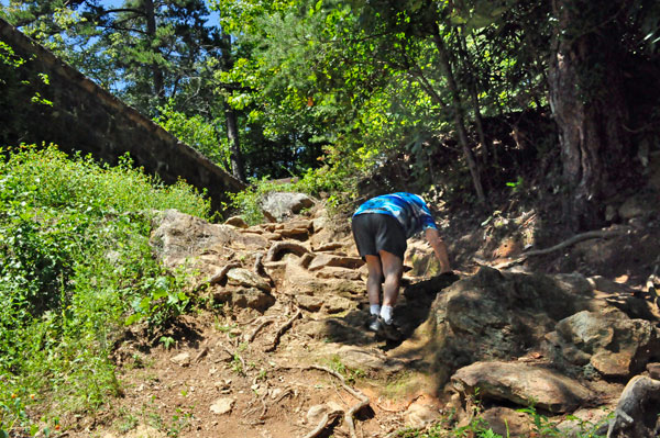
the shores of Lake Placid. However, they soon came to deep slopes leading
below the dam and then a more difficult, but short, climb up to the
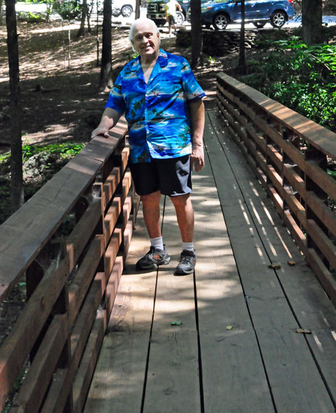
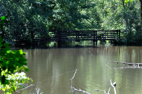
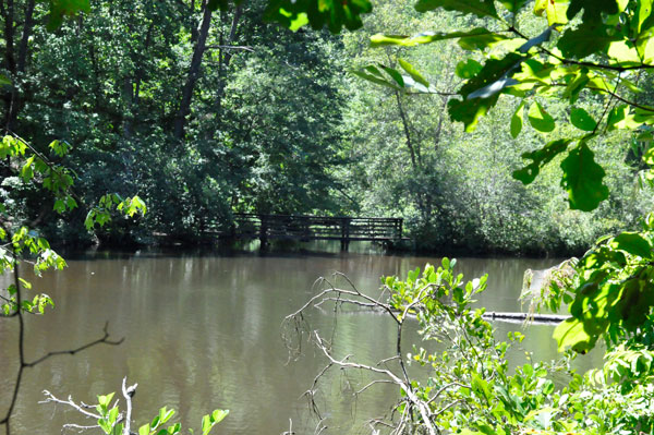
other side of the dam. Then they circled the lake, crossed a boardwalk
foot bridge, and passed the swimming area, before returning to the picnic
shelter where they began. Including the walk from the parking lot, it
was about only a 1 mile trip. However, there were several other hiking
trails of various lengths in the area. |
|
|
 |
 |
 |
 |
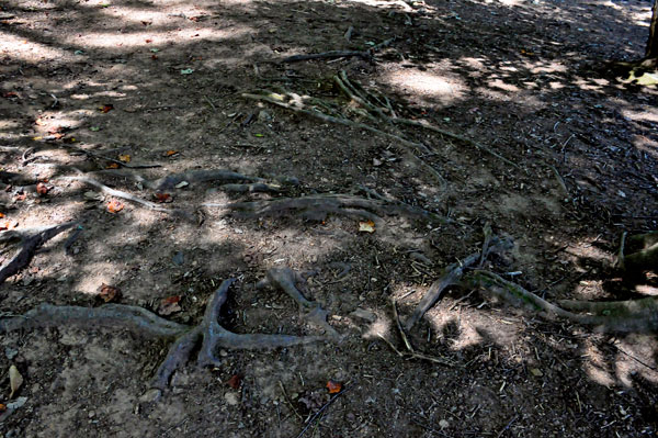
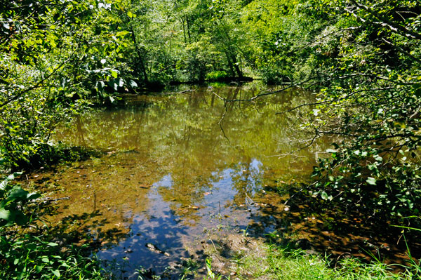
Below: The
trail was full of things that could make a person trip. But also some
nice scenery. |
 |
 |
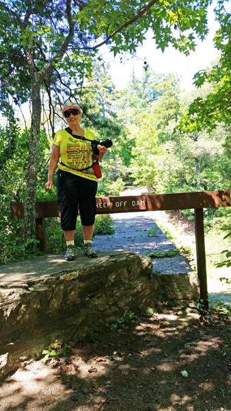
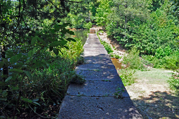
Below: Walking on the top
of the dam was off-limits. But Karen Duquette was able to take a picture
looking across the top of the dam. She also took a picture from the
other side of the dam. |
 |
 |
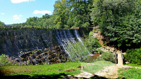
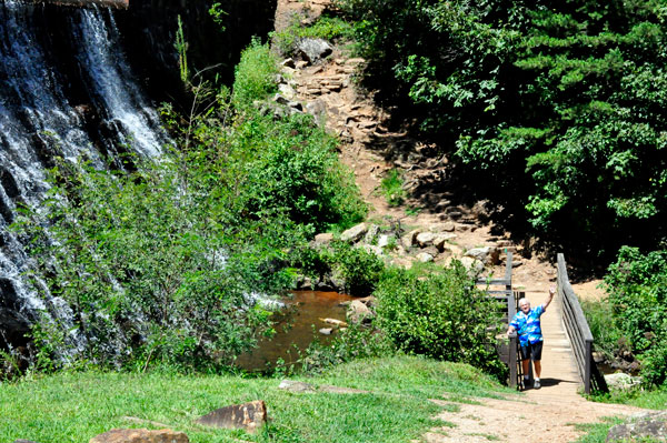
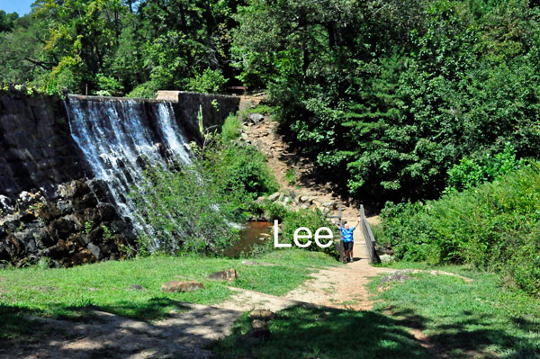
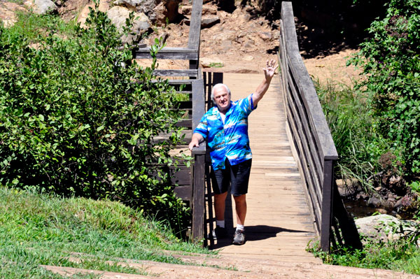
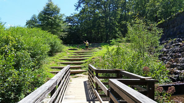
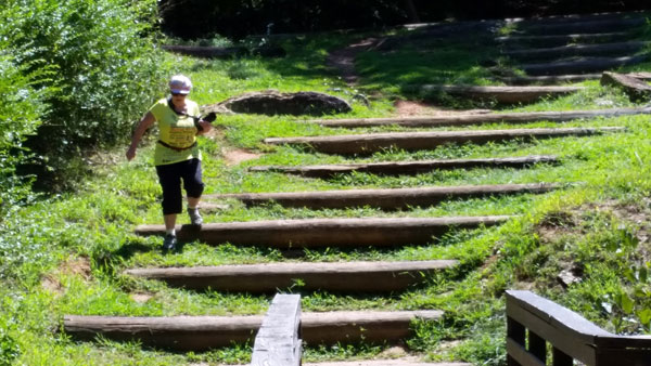
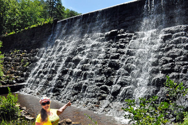
Next, Lee and Karen Duquette
went down to the bottom of the dam, crossed the bridge, and climbed
the steep, rocky hill to the other side of the dam. Lee Duquette went
first so Karen Duquette could take her time taking some photos. Then
Lee turned around to wave at Karen. Nobody else was in the area at this
time. |
 |
 |
 |
 |
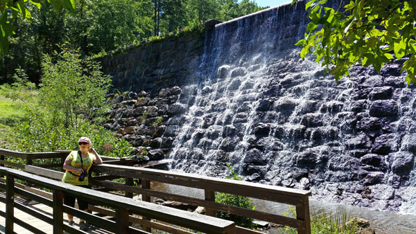
Below: Then Karen Duquette
joined Lee Duquette at the bottom of the dam. |
 |
 |
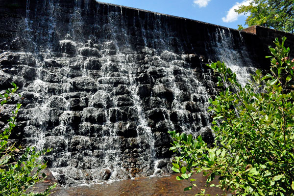
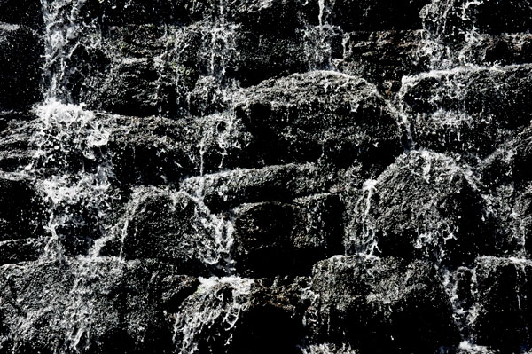
Below: Views from the bridge
and the bottom of the dam. |
 |
 |
 |
 |
Below: The difficult, but short, climb up to the other
side of the dam. Karen Duquette took a great butt shot of Lee Duquette. |
 |
 |
Below: View across
the top of the dam back at the other side where Lee and Karen Duquette
were at earlier. |
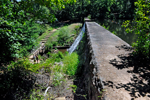 |
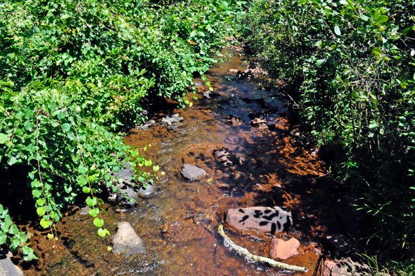
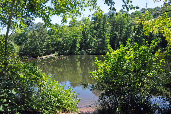
Below: View from the sides
of the dam |
 |
 |
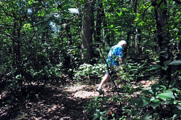
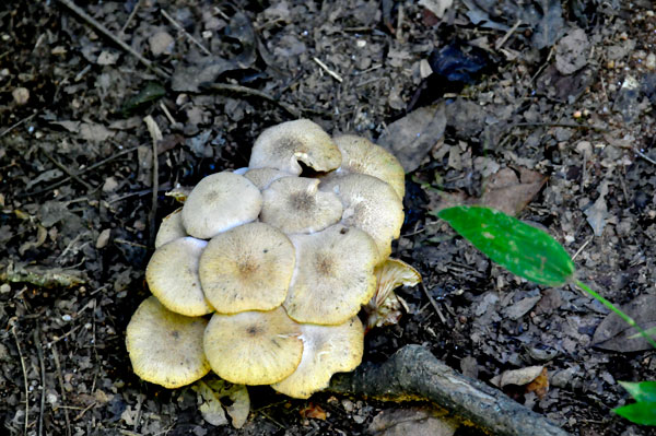
 Below:
A mysterious creature in the woods (is that an older Big Foot ?) --
maybe he eats the mushrooms!!! Below:
A mysterious creature in the woods (is that an older Big Foot ?) --
maybe he eats the mushrooms!!!
|
 |
 |
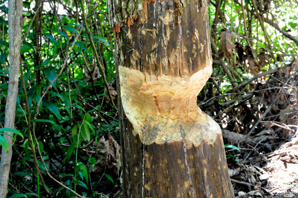
Below: Evidence of a beaver
in the area |
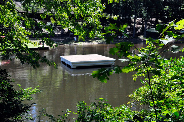
Below: The swimming dock |
 |
 |
 |
 |
 |
 |
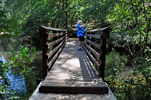
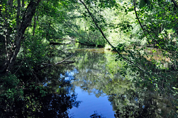
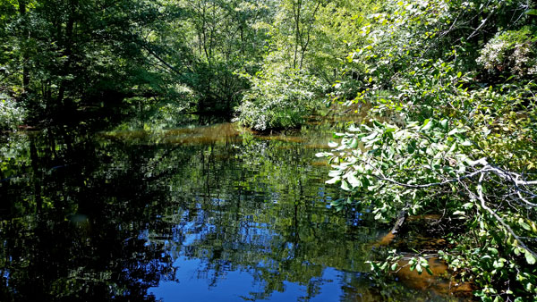
Below: Lee Duquette took
photos from each side of the bridge as shown below. |
 |
 |
 |
 |
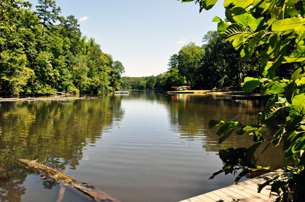
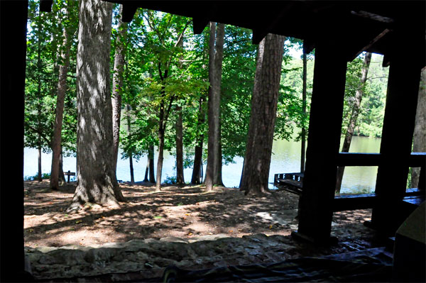
Below: The View from the
lunch spot of Lee and Karen Duquette. |
 |


 If you are viewing the Carolina sites in the order of your choice,