The Two RV Gypsies: Full-Time RVers
at Sikanni River, British Columbia, Canada
At the bottom of this page, there is a link to the second page in this area: photos of Summit Lake and Muncho Lake. The 300 mile stretch of the Alaska Highway from Fort Nelson to Watson Lake is considered by many to be the most scenic part of the highway. Summit Lake, is the highest elevation on the Alaska Highway and Muncho Lake is thought to be the most beautiful with its blue-green waters. Both lakes were still partially frozen this time of year.
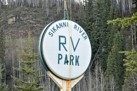
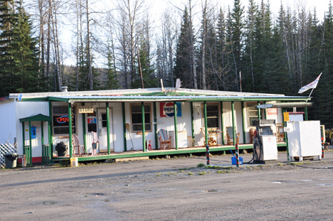
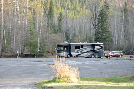
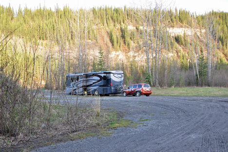
Sikanni River RV Park and office
Sikanni River RV Park sign
Sikanni River RV Park office
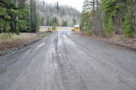
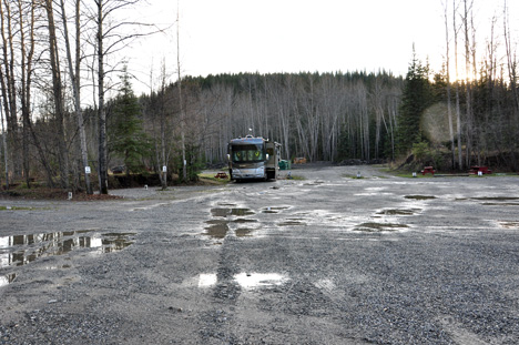
The entrance road to the park as seen from the back of the campground - a wet, dirt road
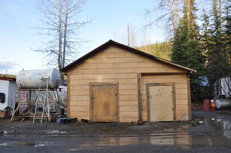
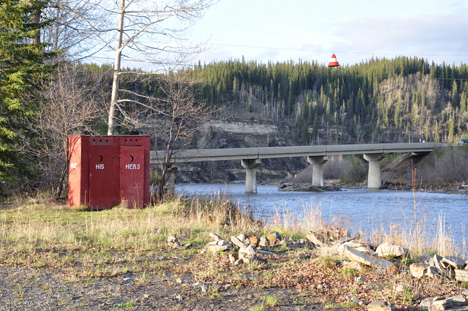
the generator building
Sikanni River RV Park  entrance
Sikanni River RV Park  generator building
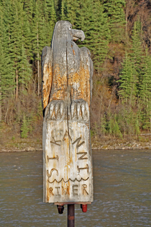
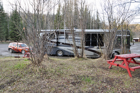
Below: Sign and outhouses beside the Sikanni River
Sikanni River sign
Sikanni River  and outhouses
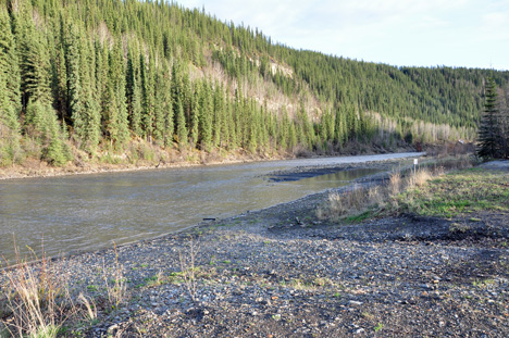
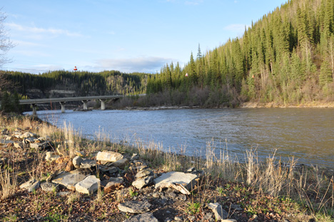
Below: The Sikanni River as seen from the park
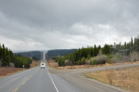
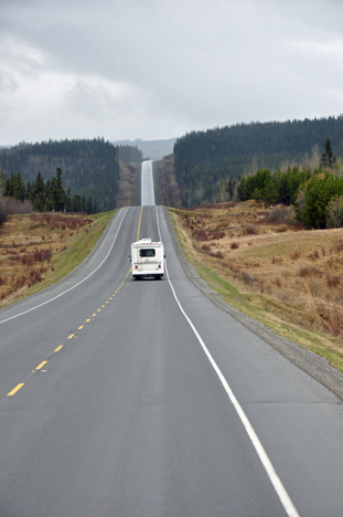
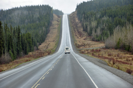
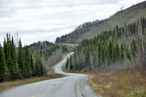
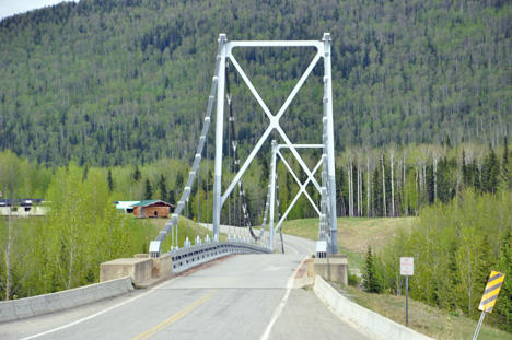
Sikanni River
Sikanni River
Below: The RV and toad of the two RV Gypsies (photos taken from different angles) - Notice that no other RV's were in the campground. The two RV Gypsies have often had campgrounds entirely to themselves during this trip. This park was gravel and full of puddles from the rain. The woods beside the RV was full of deer poop, but no deer were seen on this date by Lee or Karen Duquette.
The RV and toad of the two RV Gypsies
Below: The "roller coaster" hills leading to and from the Sikanni River Park.
the "roller coaster" hills leading to the Sikanni River Park
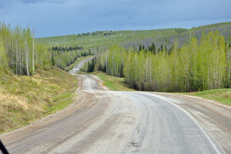
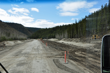
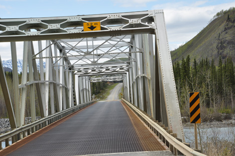
Many roads did not have
divider lines
.
Curvy roads - not so easy to maneuver
a large RV here.
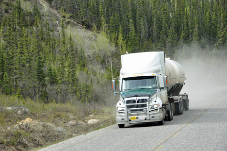
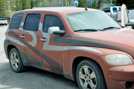
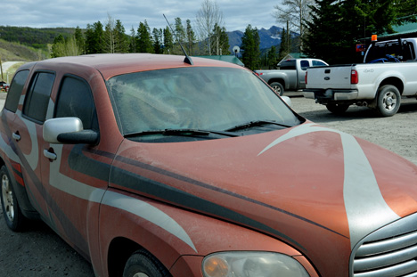
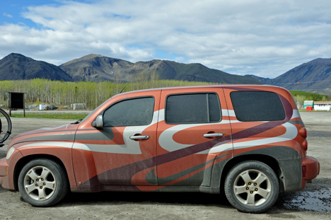
Below: One example of how much road dust and dirt gets on the cars. Starting in Dawson Creek, cars just cannot be kept clean. It doesn't help when trucks speed and throw up so much dust.
truck throwing road dust at the two RV Gypsies
Several stretches of the Alaska Highway are being worked on. It obviously was very bumpy and added to the dirt on the cars.
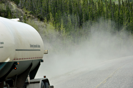
Below: See the effect of road dust and dirt on the toad of the two RV Gypsies. Although the two RV Gypsies will soon learn that this is a "very clean" car compared to what happens later in the trip.
road dust on the toad of the two RV Gypsies
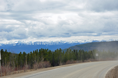
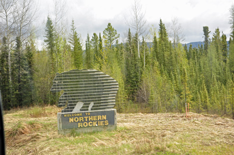
Below: Some scenery leaving Sikanni River heading towards Liard Hot Springs.
a bridge
another bridge
sign- welcome to Fort Nelson
Fort Nelson's economy is based on forestry, oil, gas and tourism. North America's largest deposits of shale gas are in close proximity to Fort Nelson.
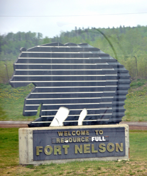
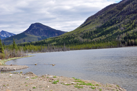
Below: Scenery along the Alaska Highway just north of Fort Nelson
road dust on the toad of the two RV Gypsies
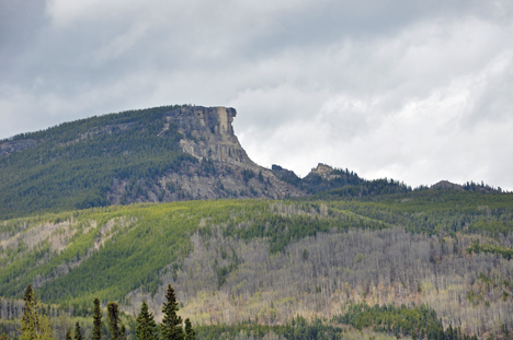
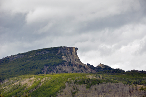
Below: At Km 545, the Distinctive Indian Head Mountain was seen from the Alaska Highway, just north of Fort Nelson.
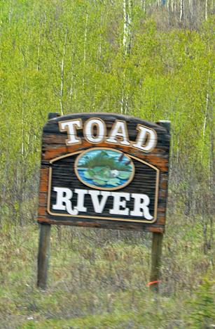
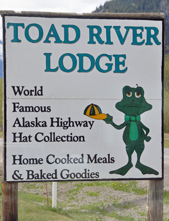
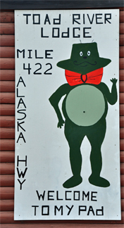
Indian Head Mountain
sign - welcome to Northern Rockies
mountain and lake
mountain and lake
Toad River Lodge
sign - Toad River
sign - Toad River Lodge
Toad River Lodge at Mile 422 on the Alaska Highway is nestled in the picturesque northern Rocky mountains of British Columbia and is home to the world famous hat collection of 6000 hats displayed on the ceiling of their store. The two RV Gypsies did not go inside at this time, but they did in 2016.
sign - Toad River Lodge
airport by Toad River
look below

This is not a linear website, so visitors always have options of where to navigate next. Below are three of those options. Plus the main navigational buttons for this entire website.

please continue on to travel adventures of the two RV Gypsies Visit sites in the order they happened and continue on to Summit Lake and Muncho Lake.