April 20, 2009
|
adventures
in Tonopah, Arizona April 20, 2009 |
 Tonopah is an unincorporated community in western Maricopa County, Arizona approximately 50 miles west of downtown Phoenix off Interstate 10. The community is near the Palo Verde Nuclear Generating Station, the largest nuclear power plant in the country. Tonopah is on the Hassayampa River. Tonopah is an unincorporated community in western Maricopa County, Arizona approximately 50 miles west of downtown Phoenix off Interstate 10. The community is near the Palo Verde Nuclear Generating Station, the largest nuclear power plant in the country. Tonopah is on the Hassayampa River.
The name Tonopah derives from the Western Apache meaning Water For Us or Water For You, referring to its location in the Harquahala Valley, underneath which there is an extensive subterranean aquifer so that wells dug in the area never lack water. Another version of the name is "The community" derived from an Indian term for "hot water under the bush," because of thermal waters here. Prior to being called Tonopah, the settlement was known as Lone Peak. The area is also known to have been inhabited by the Yavapai.Tonopah is surrounded by mountains on the north, west and south, and opens to the east into the Hassayampa River. One of the outstanding features of this area is the thermal water, which led to the opening of hot-bath houses in the 1930s.Elevation: 1,490 feet - Population: 1,809 |
|
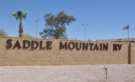
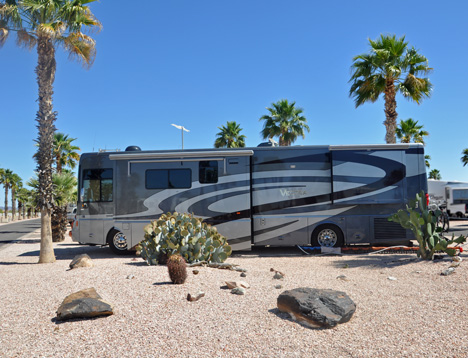
Below: Saddle
Mountain RV Park - The new temporary yard for the home of the two RV Gypsies |
|
 |
 |
|
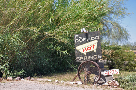
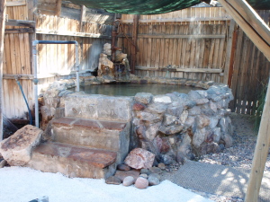
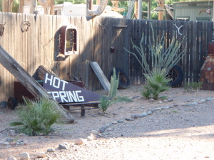
Below: EL DORADO HOT SPRINGS
- a rustic western mineral water spa located over an enormous natural
subterranean hot spring. |
|
 |
 |
 Karen
Duquette had a private one-hour hot mineral soak (in
the outdoors), followed by a one-hour therapeutic massage. It was relaxing,
but she thought this was a very strange place. Karen
Duquette had a private one-hour hot mineral soak (in
the outdoors), followed by a one-hour therapeutic massage. It was relaxing,
but she thought this was a very strange place. |
|
 |
 |
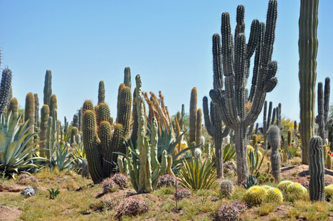
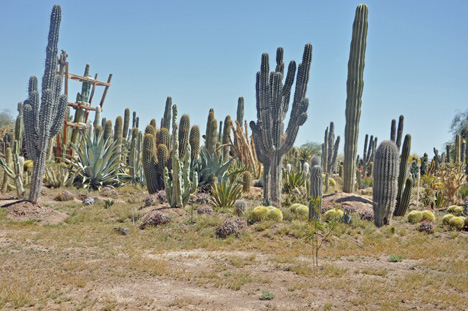
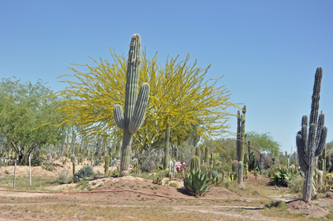
BELOW: A CACTI FARM |
|
 |
 |
 |
|
|
Be sure to visit each of the six (6) sites for photos and history. You may visit these sites in any order your choose. |
1. Photos taken out the window of the motorhome while driving from Las Cruces, New Mexico to Benson, Arizona - great scenery |
2.Texas Canyon - Dragoon Mountains - giant boulders tower over the surrounding country side, many taking unusual shapes |
3. Chiricahua National Monument- A "Wonderland of Rocks" - and a very rough hike |
4. The Thing |
5. Tonopah and Saddle Mountain RV Park (this page) |
6. Eagle Tail Mountain Wolf Sanctuary |
 |
|
OR Continue navigation of this very large website via the buttons below. |
 |
      |
      |
      |
      |
OR - - Click here for maps and descriptions of travel BY YEAR |
 AFTER
you have visited ALL 6 of the above photo sections, please
continue on to
AFTER
you have visited ALL 6 of the above photo sections, please
continue on to