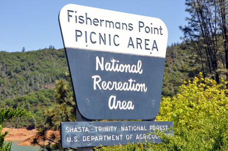
at Shasta Lake
May 7, 2009
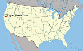
The two RV Gypsies visited
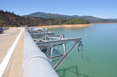
the largest reservoir in the state of California and the tallest center
overflow dam in the world.
|
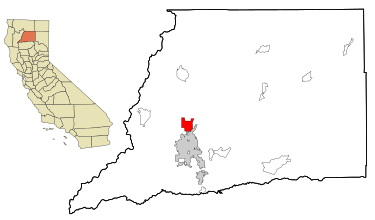
at Shasta Lake |
|
|
The two RV Gypsies visited
the largest reservoir in the state of California and the tallest center
overflow dam in the world. |
 |
 |
 |
 |
 |
|
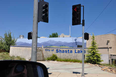
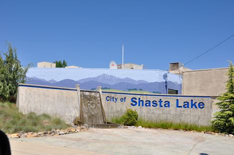
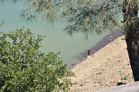
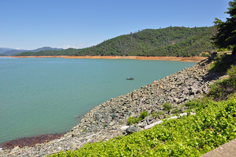
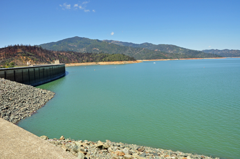
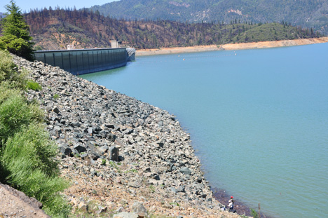
| Shasta Lake contains 4.5 million acres of water when full, making it the largest reservoir in California. With 365 miles of shoreline and 30,000 surface acres, Shasta Lake is a prime destination for water recreation and camping. Water stored in the reservoir is primarily from rainfall. The regions heavy winter rains fill the lake close to capacity each spring, providing the water necessary to meet commitments of the busy summer months. As water is released during the summer, the lake level will lower 60-80 feet, leaving ample room for flood control during the approaching winter months. | |
 |
 |
 |
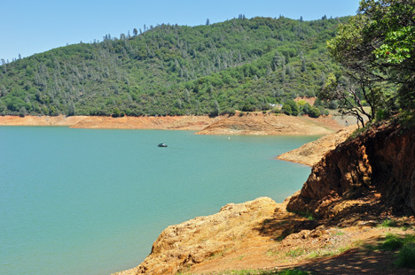 |
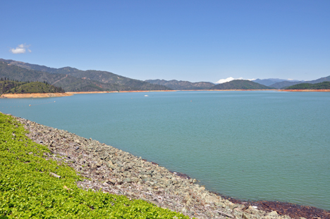
Shasta Lake is fed by the Sacramento, Pit, and McCloud Rivers, with additional water coming from Squaw Creek. This drainage area receives about 60 inches of annual precipitation, which in pre-dam years was a major contributor to frequent flooding in the valley below. With the construction of Shasta Dam the river flows have been regulated and abundant water storage is now possible. Stored water is used to supply agricultural districts; helping to assure a major supply of fresh food for the country. Additional water supplies are used to meet municipal and industrial needs, salinity control for the Sacramento-San Joaquin Bay Delta, and environmental habit maintenance. Water released to the river is sent through Shasta Power plant, which produces hydroelectric power for the 15-state western power grid. |
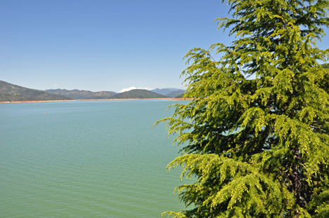 |
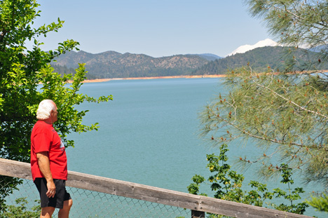
| The white behind the mountain is snow-capped Mount Shasta. Several photos of Mount Shasta can be viewed from the sub-menu below. |
|
 |
 |
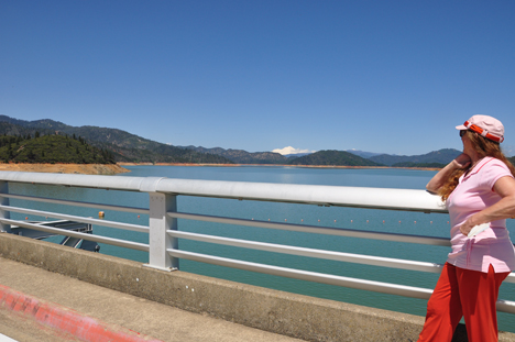
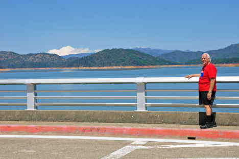
Below: The
two RV Gypsies looking at Shasta Lake and Mt. Shasta from the bridge.
The white on the mountain in the background of this photo is snow on Mt.
Shasta. |
|
 |
 |
Shasta Lake has
the distinction of being known as the "Houseboat Capitol of the World." |
|
Menu for the two RV Gypsies
in California - April 2009 |
California photos are in 28 separate sections found below. Some sections may have more than one page so that the photos will upload faster. You may visit these sections in any order you choose. Each section will have this menu so that visitors do not have to keep returning here in order to continue the California adventures. There is also a link to Oregon at the very bottom of the California menu. |
|
Kaweah Park Resort and a bobcat |
Three Rivers and Lake Kaweah |
driving scenery |
Sequoia National Park (3 pages) |
Kings Canyon |
Yosemite National Park |
El Capitan |
Bridalveil and Yosemite Falls |
Indian Flat RV Park |
Shasta Lake (this page) |
||
 |
||
|
||
OR Continue navigation of this very large website via the buttons below. |
 |
      |
      |
      |
      |
OR - - Click here for maps and descriptions of travel BY YEAR |